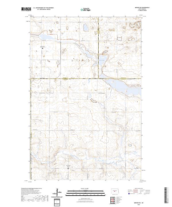
2024 Map of Mercer SW
USGS Topo · Published 2024About this map
McLean County Waterfowl Production Area and its neighboring conservation lands dominate this rural landscape at the intersection of three counties. The terrain is characterized by a high density of prairie potholes and wetlands, exemplified by Heckers Lake and the drainage of Painted Woods Creek. The human history of the region is anchored by quiet landmarks like the Bethel United Methodist Cem and the Saint Nickolas Ukrainian Cem, reflecting the early settlement patterns and diverse heritage of the Dakota plains. A section of the North Country National Scenic Trl traverses the northern portion of the map, following a path between McLean and Sheridan counties. The grid of rural roads, including New Johns Lake Rd, provides access to these isolated wetlands and historic burial sites, maintaining a landscape that remains largely dedicated to agriculture and conservation.
Find a feature on this map
27 named features on this map. Tap any name to fly to it.
Don’t see what you’re looking for? This feature index may not catch every label — zoom into the map to look around manually.
Map Details
Editions of this 2024 Mercer SW Map
This is the sole edition of this map. No revisions or reprints were ever made.
Other maps of this area

1949 · Turtle Creek
USGS Topo · 1:62,500

1950 · Wilton
USGS Topo · 1:62,500

1954 · McClusky
USGS Topo · 1:250,000

1958 · McClusky
USGS Topo · 1:250,000

1959 · Pickardville
USGS Topo · 1:24,000

1959 · Mercer
USGS Topo · 1:24,000

1959 · Mercer SW
USGS Topo · 1:24,000

1959 · Mercer SE
USGS Topo · 1:24,000

1961 · Turtle Creek NE
USGS Topo · 1:24,000

1961 · Turtle Creek SE
USGS Topo · 1:24,000