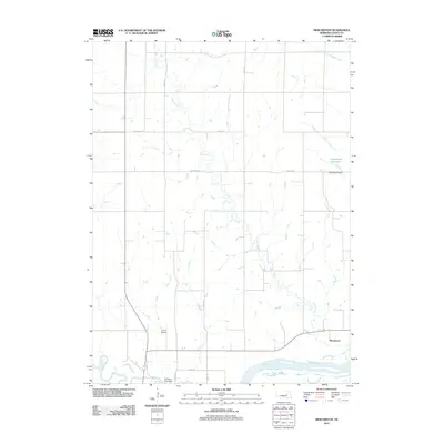
2011 Map of Merchiston
USGS Topo · Published 2011About this map
Plum Creek meanders through the heart of this agricultural landscape in Nance County, Nebraska, eventually joining the larger Loup River near the small settlement of Merchiston. The drainage patterns across this quadrangle reveal a complex network of waterways, including Council Creek and Skeedee Creek, which carve through the plains. Man-made interventions in the natural hydrology are evident at the Hasselbach Reservoir, held by the Hasselbach Dam, and the Fullerton Plant Dam along the Cedar River. This era of the landscape is characterized by its rural infrastructure, featuring the Camp Airport and a grid of secondary roads like Belgrade Rd and Road 137 that link isolated farmsteads. The convergence of the Loup and Cedar rivers at the southern edge highlights a historic corridor of water and transport in this Nebraska prairie region.
Find a feature on this map
15 named features on this map. Tap any name to fly to it.
Don’t see what you’re looking for? This feature index may not catch every label — zoom into the map to look around manually.
Map Details
Editions of this 2011 Merchiston Map
This is the sole edition of this map. No revisions or reprints were ever made.
Other maps of this area

1896 · Stromsburg
USGS Topo · 1:125,000

1899 · St. Paul
USGS Topo · 1:125,000

1954 · Belgrade
USGS Topo · 1:24,000

1954 · Cedar Rapids SE
USGS Topo · 1:24,000

1955 · Broken Bow
USGS Topo · 1:250,000

1955 · Belgrade SE
USGS Topo · 1:24,000

1955 · Fremont
USGS Topo · 1:250,000

1956 · Broken Bow
USGS Topo · 1:250,000

1957 · Fremont
USGS Topo · 1:250,000

1958 · Fremont
USGS Topo · 1:250,000