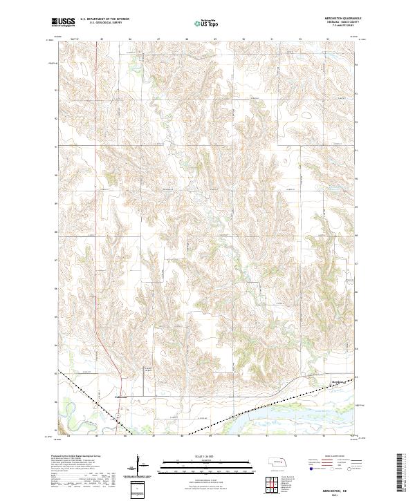
2021 Map of Merchiston
USGS Topo · Published 2021About this map
The convergence of the Loup River and Cedar River defines the southern reach of this Nebraska landscape, where the city of Fullerton serves as a local anchor. The terrain north of the river valleys is marked by a complex network of drainage creeks, including Plum Cr, Council Cr, and Skeedee Cr, which carve through the agricultural uplands. This 2021 survey illustrates a region where water management and transportation are central to the landscape, evidenced by the Hasselbach Reservoir and a grid of rural routes such as Belgrade Rd.
Find a feature on this map
39 named features on this map. Tap any name to fly to it.
Don’t see what you’re looking for? This feature index may not catch every label — zoom into the map to look around manually.
Map Details
Editions of this 2021 Merchiston Map
This is the sole edition of this map. No revisions or reprints were ever made.
Other maps of this area

1896 · Stromsburg
USGS Topo · 1:125,000

1899 · St. Paul
USGS Topo · 1:125,000

1954 · Belgrade
USGS Topo · 1:24,000

1954 · Cedar Rapids SE
USGS Topo · 1:24,000

1955 · Broken Bow
USGS Topo · 1:250,000

1955 · Belgrade SE
USGS Topo · 1:24,000

1955 · Fremont
USGS Topo · 1:250,000

1956 · Broken Bow
USGS Topo · 1:250,000

1957 · Fremont
USGS Topo · 1:250,000

1958 · Fremont
USGS Topo · 1:250,000