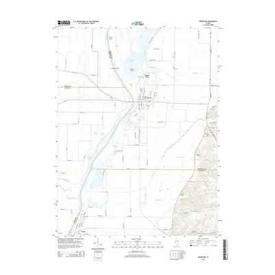
2015 Map of Meredosia
USGS Topo · Published 2015About this map
The Illinois River creates a complex network of waterways and islands as it passes through this region, forming the border for four neighboring counties. Along the eastern banks, the village of Meredosia serves as a primary hub, while Naples sits further south along the river's bend. The landscape is defined by extensive backwater lakes and ponds such as Meredosia Lake, Barlow Lake, and Smith Lake, which emphasize the flood-prone character of the river valley.
Find a feature on this map
92 named features on this map. Tap any name to fly to it.
Don’t see what you’re looking for? This feature index may not catch every label — zoom into the map to look around manually.
Map Details
Editions of this 2015 Meredosia Map
This is the sole edition of this map. No revisions or reprints were ever made.
Other maps of this area

1924 · Winchester
USGS Topo · 1:48,000

1924 · Griggsville
USGS Topo · 1:62,500

1926 · Griggsville
USGS Topo · 1:62,500

1926 · Winchester
USGS Topo · 1:62,500

1928 · Meredosia
USGS Topo · 1:62,500

1929 · Arenzville
USGS Topo · 1:62,500

1931 · Meredosia
USGS Topo · 1:62,500

1932 · Arenzville
USGS Topo · 1:62,500

1948 · Quincy
USGS Topo · 1:250,000

1956 · Quincy
USGS Topo · 1:250,000