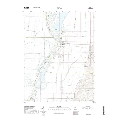
2021 Map of Meredosia
USGS Topo · Published 2021About this map
Meredosia Lake and its intricate network of side-channels and backwaters dominate this survey of the Illinois River valley. The map reveals a landscape shaped by water and flood control, featuring various levees like the Skinner Levee Trl and Shearl Levee Trl that protect the low-lying agricultural ground. In the town of Meredosia, the street grid remains clustered near the riverbank, while smaller settlements like Naples sit further south along the river's bend. The area is dotted with numerous family and community burial grounds, including Oakland Cem and the more remote Hodges Cem, providing valuable touchstones for local genealogists. Between the river and the bluffs, diverse water bodies such as Barlow Lake, Scuppernong Pond, and Smith Lake illustrate the complex hydrology of the valley floor.
Find a feature on this map
83 named features on this map. Tap any name to fly to it.
Don’t see what you’re looking for? This feature index may not catch every label — zoom into the map to look around manually.
Map Details
Editions of this 2021 Meredosia Map
This is the sole edition of this map. No revisions or reprints were ever made.
Other maps of this area

1924 · Winchester
USGS Topo · 1:48,000

1924 · Griggsville
USGS Topo · 1:62,500

1926 · Griggsville
USGS Topo · 1:62,500

1926 · Winchester
USGS Topo · 1:62,500

1928 · Meredosia
USGS Topo · 1:62,500

1929 · Arenzville
USGS Topo · 1:62,500

1931 · Meredosia
USGS Topo · 1:62,500

1932 · Arenzville
USGS Topo · 1:62,500

1948 · Quincy
USGS Topo · 1:250,000

1956 · Quincy
USGS Topo · 1:250,000