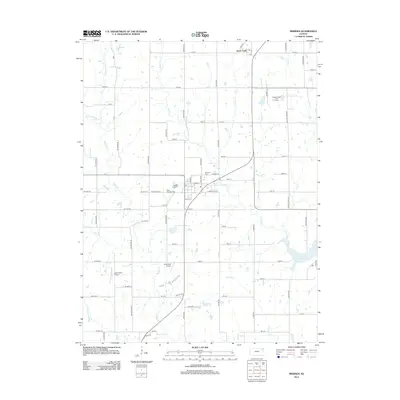
2012 Map of Meriden
USGS Topo · Published 2012About this map
The community of Rock Creek and the surrounding Jefferson County countryside are defined by a network of winding waterways including Muddy Cr and Rock Cr. This 2012 survey illustrates the transition from traditional agricultural land use toward more modern developments, such as the Village Greens Golf Course and the southeastern reach of Perry Lake. For those tracing local history, the map provides precise locations for the Saint Aloysius Cem and Meriden Cem, alongside the small private airstrips of Blackhawk Airport and Buena Terra Airport. The landscape is a complex drainage basin where Tick Cr, Claywell Cr, and French Cr converge, shaping the rural road grid that connects these isolated settlements and family farms.
Find a feature on this map
75 named features on this map. Tap any name to fly to it.
Don’t see what you’re looking for? This feature index may not catch every label — zoom into the map to look around manually.
Map Details
Editions of this 2012 Meriden Map
This is the sole edition of this map. No revisions or reprints were ever made.
Other maps of this area

1886 · Oskaloosa
USGS Topo · 1:125,000

1888 · Oskaloosa
USGS Topo · 1:125,000

1889 · Topeka
USGS Topo · 1:125,000

1894 · Oskaloosa
USGS Topo · 1:125,000

1894 · Topeka
USGS Topo · 1:125,000

1949 · Perry
USGS Topo · 1:24,000

1950 · Perry
USGS Topo · 1:24,000

1950 · Kansas City
USGS Topo · 1:250,000

1950 · Topeka
USGS Topo · 1:24,000

1950 · Grantville
USGS Topo · 1:24,000