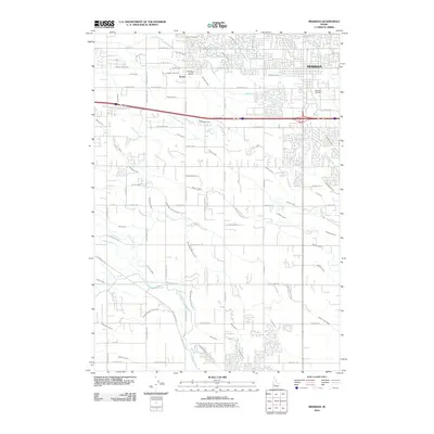
2010 Map of Meridian
USGS Topo · Published 2010About this map
Meridian appears at a crossroads of rapid expansion and deep agricultural heritage in this 2010 survey. The landscape is defined by an intricate mesh of water management, where the Ridenbaugh High Line Canal and Settlers Canal feed a dense network of laterals like the McBirney Lateral and State Lateral. This sophisticated irrigation system transformed the arid plains near Purdam Gulch into a productive corridor, even as residential streets began to overtake the old fields. Significant waterways such as Tenmile Creek and Indian Creek thread through the township, while the Meridian Cemetery stands as a local landmark on the eastern edge. To the west, the smaller settlement of Sonna remains positioned along the drainage systems of the Purdam Gulch Drain, illustrating the region's reliance on managed water for its continued growth and stability.
Find a feature on this map
86 named features on this map. Tap any name to fly to it.
Don’t see what you’re looking for? This feature index may not catch every label — zoom into the map to look around manually.
Map Details
Editions of this 2010 Meridian Map
This is the sole edition of this map. No revisions or reprints were ever made.
Other maps of this area

1892 · Boise
USGS Topo · 1:125,000

1892 · Bisuka
USGS Topo · 1:125,000

1892 · Silver City
USGS Topo · 1:125,000

1894 · Bisuka
USGS Topo · 1:125,000

1894 · Silver City
USGS Topo · 1:125,000

1897 · Boise
USGS Topo · 1:125,000

1898 · Nampa
USGS Topo · 1:125,000

1898 · Silver City
USGS Topo · 1:125,000

1953 · Eagle
USGS Topo · 1:24,000

1953 · Cloverdale
USGS Topo · 1:24,000