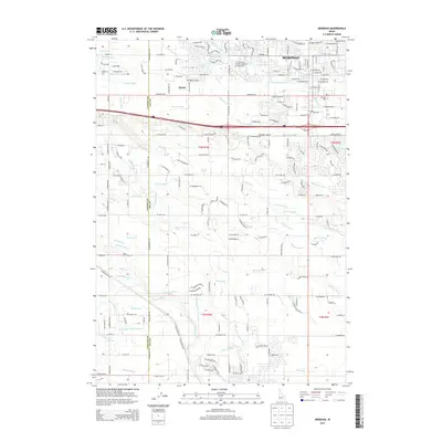
2013 Map of Meridian
USGS Topo · Published 2013About this map
The growing city of Meridian and the settlement of Sonna occupy this portion of the Treasure Valley, where the landscape is defined by an intricate network of irrigation engineering. This 2013 survey illustrates the transition from rural agricultural tracts to modern residential development, all supported by a massive system of water transport including the Ridenbaugh Canal, Settlers Canal, and Kuna Canal. These man-made arteries, along with smaller features like the Nihemile Cr and Tenmile Cr, transformed the arid Snake River Plain into fertile farmland.
Find a feature on this map
76 named features on this map. Tap any name to fly to it.
Don’t see what you’re looking for? This feature index may not catch every label — zoom into the map to look around manually.
Map Details
Editions of this 2013 Meridian Map
This is the sole edition of this map. No revisions or reprints were ever made.
Other maps of this area

1892 · Boise
USGS Topo · 1:125,000

1892 · Bisuka
USGS Topo · 1:125,000

1892 · Silver City
USGS Topo · 1:125,000

1894 · Bisuka
USGS Topo · 1:125,000

1894 · Silver City
USGS Topo · 1:125,000

1897 · Boise
USGS Topo · 1:125,000

1898 · Nampa
USGS Topo · 1:125,000

1898 · Silver City
USGS Topo · 1:125,000

1953 · Eagle
USGS Topo · 1:24,000

1953 · Cloverdale
USGS Topo · 1:24,000