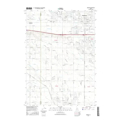
2017 Map of Meridian
USGS Topo · Published 2017About this map
Meridian and Kuna anchor this 2017 landscape in Ada County, where a complex network of man-made waterways supports the region's agricultural and residential development. The map reveals an intricate hydraulic system, featuring the Ridenbaugh Canal, Mason Creek, and numerous irrigation ditches like the Calkins Lateral and Farr Lateral. These watercourses traverse the grid-based settlement patterns between the eastern edge of Nampa and the growing suburban corridors of Meridian. Local history is grounded in specific sites such as the Meridian Cemetery and the small settlement of Sonna along the railroad corridor. The terrain is further defined by natural drainage features like Tenmile Creek and Indian Creek, which illustrate the relationship between the natural Boise River valley hydrology and the engineered irrigation infrastructure that has long defined the Treasure Valley.
Find a feature on this map
170 named features on this map. Tap any name to fly to it.
Don’t see what you’re looking for? This feature index may not catch every label — zoom into the map to look around manually.
Map Details
Editions of this 2017 Meridian Map
This is the sole edition of this map. No revisions or reprints were ever made.
Other maps of this area

1892 · Boise
USGS Topo · 1:125,000

1892 · Bisuka
USGS Topo · 1:125,000

1892 · Silver City
USGS Topo · 1:125,000

1894 · Bisuka
USGS Topo · 1:125,000

1894 · Silver City
USGS Topo · 1:125,000

1897 · Boise
USGS Topo · 1:125,000

1898 · Nampa
USGS Topo · 1:125,000

1898 · Silver City
USGS Topo · 1:125,000

1953 · Eagle
USGS Topo · 1:24,000

1953 · Cloverdale
USGS Topo · 1:24,000