Loading...
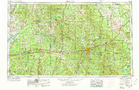
Loading map...1953 Map of Meridian
USGS Topo · Published 1974About this map
Meridian stands as the central hub of a deep South landscape defined by its timbered forests and complex river drainage at the turn of the 1970s. The map captures the significant presence of the Choctaw Indian Reservation scattered across the hilly terrain near Philadelphia. Broad swaths of the Bienville National Forest dominate the central-western portion of the sheet, while the military footprint at NAS Meridian indicates the area's strategic importance during the mid-century era.
Find a feature on this map
330 named features on this map. Tap any name to fly to it.
Don’t see what you’re looking for? This feature index may not catch every label — zoom into the map to look around manually.
Map Details
Date Portrayed1953
Date Published1974
PublisherU.S. Geological Survey
Map TypeTopographic
Scale1:250,000
Physical Dimensions34 x 22 inches
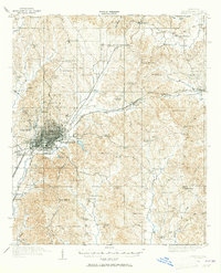
Editions of this 1953 Meridian Map
2 editions found

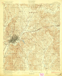
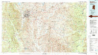
Historical Maps of Meridian Through Time
6 maps found


Featured Locations
Source Details
SourceU.S. Geological Survey
CopyrightPublic Domain