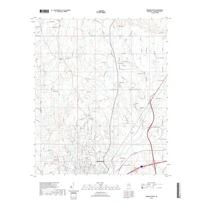
2018 Map of Meridian North
USGS Topo · Published 2018About this map
The northern reaches of Meridian and the adjacent community of Marion are defined by a complex network of family and historic burial grounds, illustrating the deep genealogical roots of Lauderdale County. Significant sites such as the Confederate Cemetery, Beth Israel Cemetery, and Magnolia Cemetery are documented alongside smaller family plots like the Tinnin Cemetery and Kinard Cemetery. This 2018 survey reveals a landscape where modern residential expansion meets historical land use, with features like Forest Lawn Garden and Dogwood Lake indicating mid-to-late century development.
Find a feature on this map
187 named features on this map. Tap any name to fly to it.
Don’t see what you’re looking for? This feature index may not catch every label — zoom into the map to look around manually.
Map Details
Editions of this 2018 Meridian North Map
This is the sole edition of this map. No revisions or reprints were ever made.
Other maps of this area

1921 · Meridian
USGS Topo · 1:48,000

1923 · Meridian
USGS Topo · 1:62,500

1953 · Meridian
USGS Topo · 1:250,000

1957 · Meridian
USGS Topo · 1:250,000

1957 · Chunky
USGS Topo · 1:62,500

1962 · Daleville
USGS Topo · 1:24,000

1962 · Lauderdale
USGS Topo · 1:24,000

1962 · Center Hill
USGS Topo · 1:24,000

1965 · Meridian
USGS Topo · 1:250,000

1971 · Vimville
USGS Topo · 1:24,000