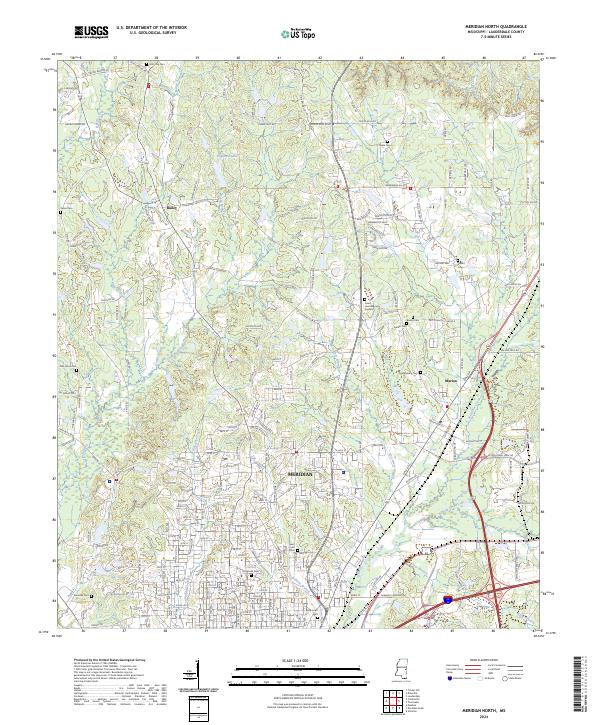
2024 Map of Meridian North
USGS Topo · Published 2024About this map
The city of Meridian anchors this modern topographic perspective of Lauderdale County, where urban development meets the forested watersheds of eastern Mississippi. The landscape is defined by the convergence of several waterways, including the winding course of Sowashee Creek and its tributaries like McLemore Branch and Gallagher Creek. To the north, the community of Bailey sits near the headwaters of Bailey Branch, while Marion occupies the eastern corridor alongside the drainage of Loper Creek.
Find a feature on this map
48 named features on this map. Tap any name to fly to it.
Don’t see what you’re looking for? This feature index may not catch every label — zoom into the map to look around manually.
Map Details
Editions of this 2024 Meridian North Map
This is the sole edition of this map. No revisions or reprints were ever made.
Other maps of this area

1921 · Meridian
USGS Topo · 1:48,000

1923 · Meridian
USGS Topo · 1:62,500

1953 · Meridian
USGS Topo · 1:250,000

1957 · Meridian
USGS Topo · 1:250,000

1957 · Chunky
USGS Topo · 1:62,500

1962 · Daleville
USGS Topo · 1:24,000

1962 · Lauderdale
USGS Topo · 1:24,000

1962 · Center Hill
USGS Topo · 1:24,000

1965 · Meridian
USGS Topo · 1:250,000

1971 · Vimville
USGS Topo · 1:24,000