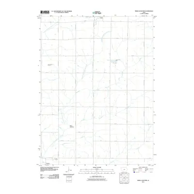
2010 Map of Merle Junction
USGS Topo · Published 2010About this map
The agricultural landscape of Taylor County is defined by the branching waterways of the One Hundred and Two River system. The East Fork One Hundred and Two River and Middle Branch One Hundred and Two River wind through a grid of section roads, where small settlements like Merle Junction and Conway remain as quiet landmarks. Genealogists can identify historic burial grounds such as the Tando-Winslow Cemetery and Conway Cemetery, which are located amidst the fields. Water management is evident at Wilson Lake, formed by the Wilson Lake Dam. This 2010 survey illustrates a rural Iowa geography where local life follows the courses of Hog Branch, Ash Branch, and Honey Creek. The map provides a precise layout of the county road system, from Tennessee Ave to Winchester Ave, reflecting the enduring township-and-range organization of the region.
Find a feature on this map
31 named features on this map. Tap any name to fly to it.
Don’t see what you’re looking for? This feature index may not catch every label — zoom into the map to look around manually.
Map Details
Editions of this 2010 Merle Junction Map
This is the sole edition of this map. No revisions or reprints were ever made.
Other maps of this area

1940 · Blockton
USGS Topo · 1:62,500

1940 · Bedford
USGS Topo · 1:62,500

1943 · Bedford
USGS Topo · 1:62,500

1943 · Blockton
USGS Topo · 1:62,500

1955 · Nebraska City
USGS Topo · 1:250,000

1957 · Nebraska City
USGS Topo · 1:250,000

1958 · Nebraska City
USGS Topo · 1:250,000

1980 · Corning South
USGS Topo · 1:24,000

1980 · Gravity
USGS Topo · 1:24,000

1980 · Merle Junction
USGS Topo · 1:24,000