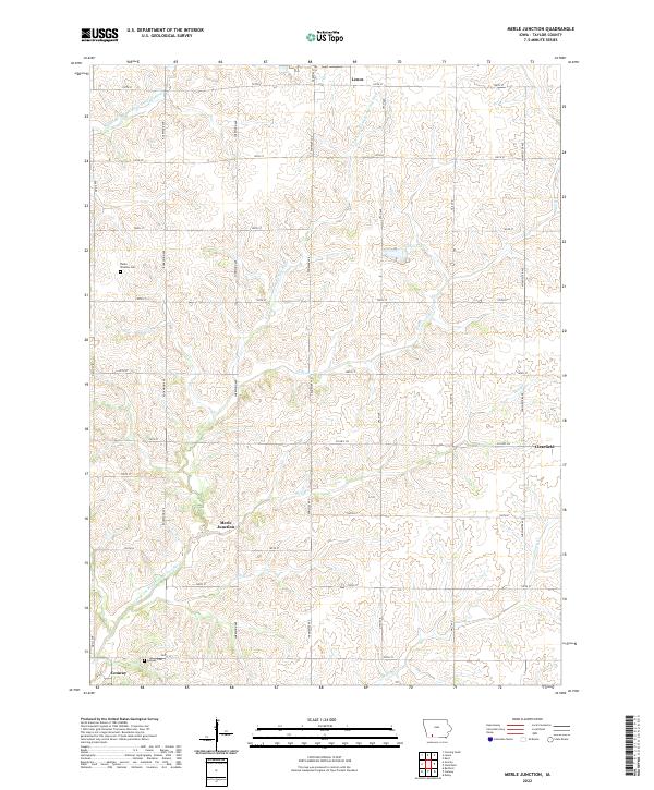
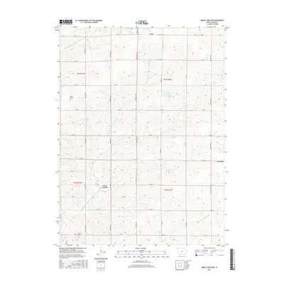
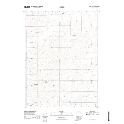
2022 Map of Merle Junction
USGS Topo · Published 2022About this map
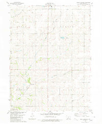
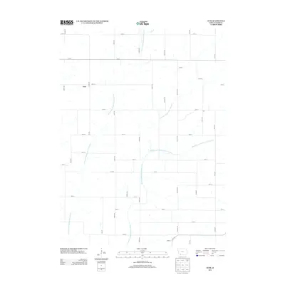
Merle Junction and the surrounding Taylor County countryside are defined by a rhythmic grid of gravel roads and the branching headwaters of the One Hundred and Two River. This agricultural landscape in southwest Iowa shows the persistence of small rural centers like Lenox and Clearfield, while Conway sits near the southern edge of the survey. The terrain is deeply etched by watercourses such as the Middle Br One Hundred and Two River and the E Fork One Hundred and Two River, which dictate the placement of farms and conservation areas. Local heritage is preserved in sites like the Winslow Cem and Conway Cem, landmarks that have anchored this farming community for generations. The prominence of Wilson Lake and smaller tributaries like Hog Br and Ash Br highlights the critical role of water management and local drainage in this fertile rolling landscape.
Find a feature on this map
36 named features on this map. Tap any name to fly to it.
Don’t see what you’re looking for? This feature index may not catch every label — zoom into the map to look around manually.
Map Details
Editions of this 2022 Merle Junction Map
This is the sole edition of this map. No revisions or reprints were ever made.
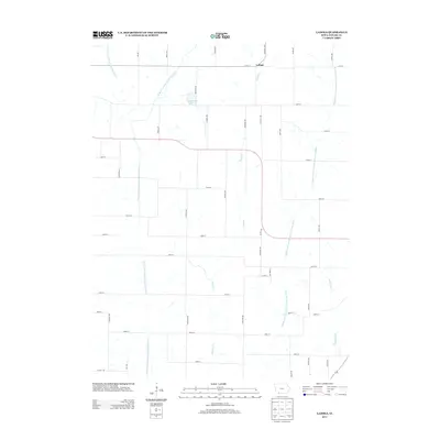
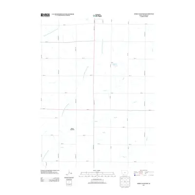
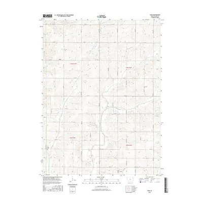
Historical Maps of Lenox Through Time
19 maps found
1980 Bedford SW
Taylor County, IA
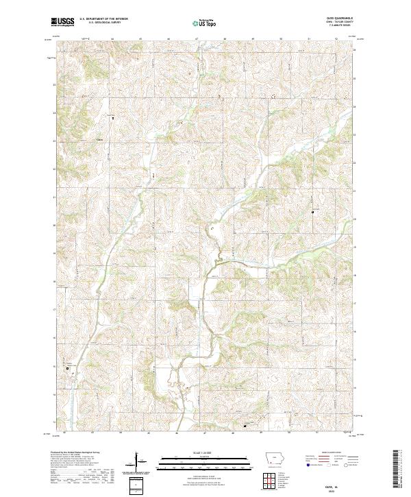
1980 Guss
Taylor County, IA
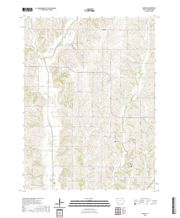
1980 Ladoga
Taylor County, IA
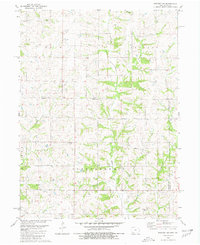
1980 Merle Junction
Taylor County, IA
2010 Guss
Taylor County, IA
2010 Ladoga
Taylor County, IA
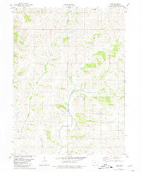
2010 Merle Junction
Taylor County, IA
2013 Guss
Taylor County, IA
2013 Ladoga
Taylor County, IA
2013 Merle Junction
Taylor County, IA
2015 Guss
Taylor County, IA
2015 Ladoga
Taylor County, IA
2015 Merle Junction
Taylor County, IA
2018 Guss
Taylor County, IA
2018 Ladoga
Taylor County, IA
2018 Merle Junction
Taylor County, IA
2022 Guss
Taylor County, IA
2022 Ladoga
Taylor County, IA
2022 Merle Junction
Taylor County, IA