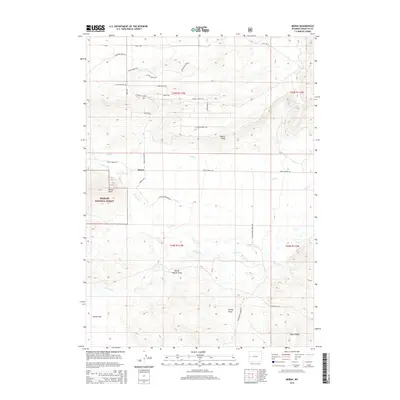
2015 Map of Merna
USGS Topo · Published 2015About this map
Merna serves as the focal point for this section of Sublette County, situated where the high plains meet the eastern fringes of the Bridger National Forest. The landscape is defined by its complex drainage systems and rising elevations, featuring prominent landmarks such as Merna Butte and the elongated Beaver Ridge. Transport routes like Daniel Merna Rd and Cottonwood Merna Rd provide the primary connectivity through this ranching-oriented terrain. The surveyor’s meticulous detailing of ephemeral and perennial water sources—including Horse Cr, N Horse Cr, and Lead Cr—illustrates the critical importance of water rights and irrigation in this high-altitude environment. Between the ridges, wide expanses like Haines Flat and named depressions such as Horse Pasture Draw and Brodie Draw suggest a long history of local grazing and land management.
Find a feature on this map
35 named features on this map. Tap any name to fly to it.
Don’t see what you’re looking for? This feature index may not catch every label — zoom into the map to look around manually.
Map Details
Editions of this 2015 Merna Map
This is the sole edition of this map. No revisions or reprints were ever made.
Other maps of this area

1907 · Gros Ventre
USGS Topo · 1:125,000

1910 · Gros Ventre
USGS Topo · 1:125,000

1939 · Big Piney
USGS Topo · 1:125,000

1942 · Big Piney
USGS Topo · 1:125,000

1955 · Driggs
USGS Topo · 1:250,000

1955 · Preston
USGS Topo · 1:250,000

1958 · Driggs
USGS Topo · 1:250,000

1958 · Preston
USGS Topo · 1:250,000

1962 · Driggs
USGS Topo · 1:250,000

1962 · Preston
USGS Topo · 1:250,000