Loading...
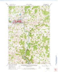
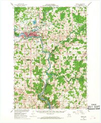
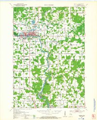
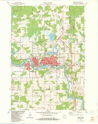
Loading map...1966 Map of Merrill
USGS Topo · Published 1978About this map
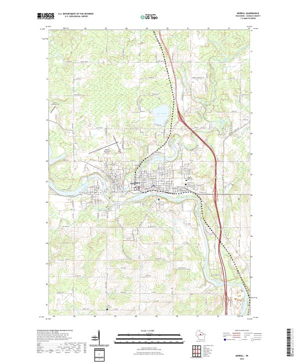
The Wisconsin River corridor defines this mid-1960s landscape, serving as the industrial and transit spine for central Wisconsin. The city of Merrill sits at the confluence with the Prairie River, characterized by its concentration of public infrastructure including a Jr High Sch, Washington Sch, and the Courthouse. South of the city, the Chicago Milwaukee St Paul and Pacific railroad tracks follow the river's edge, connecting rural outposts like Brokaw and the Granite Heights (Heights Sta) quarrying area.
Find a feature on this map
81 named features on this map. Tap any name to fly to it.
Don’t see what you’re looking for? This feature index may not catch every label — zoom into the map to look around manually.
Map Details
Date Portrayed1966
Date Published1978
PublisherU.S. Geological Survey
Map TypeTopographic
Scale1:62,500
Physical Dimensions17.63 x 21.85 inches
Editions of this 1966 Merrill Map
2 editions found
Historical Maps of Wausau Through Time
5 maps found

Featured Locations
Source Details
SourceU.S. Geological Survey
CopyrightPublic Domain