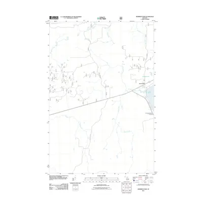
2011 Map of Merriweather
USGS Topo · Published 2011About this map
Merriweather anchors the eastern shore of Lake Gogebic in this detailed 2011 survey of Ontonagon County. The settlement and its immediate vicinity, including the Ontonagon County Park Campground and Picnic Area, represent the primary human footprint in a landscape otherwise defined by a complex network of waterways. The topography is shaped by the Big Iron River and numerous feeder streams such as Wapato Creek, Warbler Creek, and Merriweather Creek.
Find a feature on this map
15 named features on this map. Tap any name to fly to it.
Don’t see what you’re looking for? This feature index may not catch every label — zoom into the map to look around manually.
Map Details
Editions of this 2011 Merriweather Map
This is the sole edition of this map. No revisions or reprints were ever made.
Other maps of this area
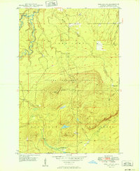
1949 · Bergland NE
USGS Topo · 1:24,000
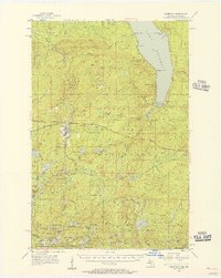
1955 · Marenisco
USGS Topo · 1:62,500
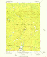
1955 · Marenisco
USGS Topo · 1:24,000
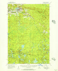
1955 · Wakefield
USGS Topo · 1:62,500
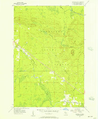
1955 · Wakefield NE
USGS Topo · 1:24,000
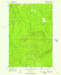
1956 · Bergland NE
USGS Topo · 1:24,000
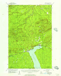
1956 · Bergland
USGS Topo · 1:62,500
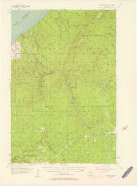
1956 · Thomaston
USGS Topo · 1:62,500

1958 · Iron River
USGS Topo · 1:250,000
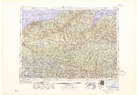
1960 · Iron River
USGS Topo · 1:250,000
Featured Places
- Bergland Township, MI
- Carp Lake Township, MI
- Merriweather, MI
- Marenisco Township, MI
- Wakefield Township, MI