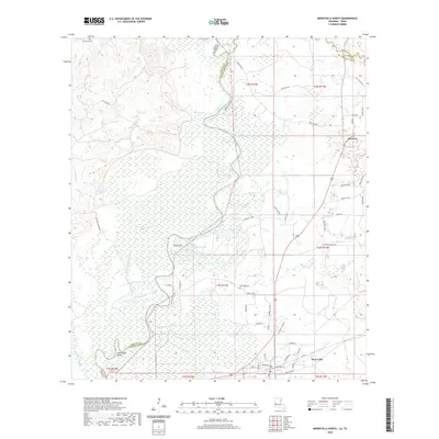
2020 Map of Merryville North
USGS Topo · Published 2020About this map
The Sabine River carves a winding course along the border of Texas and Louisiana, defining the character of this wetland landscape north of Merryville. The river’s migratory history is evident in the numerous oxbows and cutoffs that now form distinct water bodies such as Eaves Old River, Horseshoe Lake, and Moon Lake. Near a prominent curve known as Steamboat Bend, the terrain is a complex of sloughs and lakes, including Kimney Lake and Sand Lake, which suggest a long-standing reliance on the river system for navigation and industry.
Find a feature on this map
72 named features on this map. Tap any name to fly to it.
Don’t see what you’re looking for? This feature index may not catch every label — zoom into the map to look around manually.
Map Details
Editions of this 2020 Merryville North Map
This is the sole edition of this map. No revisions or reprints were ever made.
Other maps of this area

1935 · Wilson Lake
USGS Topo · 1:31,680

1946 · Merryville
USGS Topo · 1:31,680

1947 · Singer
USGS Topo · 1:31,680

1947 · Pujo
USGS Topo · 1:31,680

1947 · Knight
USGS Topo · 1:31,680

1947 · Wilson Lake
USGS Topo · 1:31,680

1947 · Bivens
USGS Topo · 1:31,680

1949 · Evans
USGS Topo · 1:31,680

1952 · Lake Charles
USGS Topo · 1:250,000
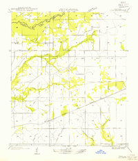
1954 · Pujo
USGS Topo · 1:31,680