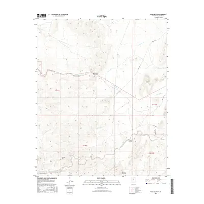
2017 Map of Mesa Del Yeso
USGS Topo · Published 2017About this map
Puertecito of Bowling Green and the surrounding high desert of Socorro County are documented here in high detail, showing a landscape defined by seasonal watercourses and strategic routes. The terrain is dominated by the prominent Mesa del Yeso and the high point at Johnson Hill, with the earth deeply carved by drainage systems like the Arroyo de Alamillo and Arroyo Varrido.
Find a feature on this map
19 named features on this map. Tap any name to fly to it.
Don’t see what you’re looking for? This feature index may not catch every label — zoom into the map to look around manually.
Map Details
Editions of this 2017 Mesa Del Yeso Map
This is the sole edition of this map. No revisions or reprints were ever made.
Other maps of this area

1906 · Socorro
USGS Topo · 1:62,500

1916 · La Joya
USGS Topo · 1:125,000

1952 · San Anacia
USGS Topo · 1:24,000

1952 · La Joya
USGS Topo · 1:24,000

1952 · Becker SW
USGS Topo · 1:24,000

1954 · Socorro
USGS Topo · 1:250,000

1958 · Socorro
USGS Topo · 1:250,000

1959 · Loma De Las Canas
USGS Topo · 1:24,000

1959 · Socorro
USGS Topo · 1:24,000

1959 · Mesa Del Yeso
USGS Topo · 1:24,000