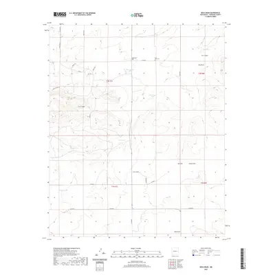
2020 Map of Mesa Draw
USGS Topo · Published 2020About this map
Cedar Grove Cem stands as a quiet cultural landmark on the northern slopes of Eisenhart Hill, a high point overlooking the complex drainage systems of Torrance County. The landscape is defined by its arid hydrology, where numerous livestock water sources like Baumgartner Tank, Mesa Tank, and the Medders Tanks sustain the high-desert cattle country. These man-made features are scattered across a terrain of deep incisions, most notably the wide Mesa Draw and the more contained Lion Canyon.
Find a feature on this map
36 named features on this map. Tap any name to fly to it.
Don’t see what you’re looking for? This feature index may not catch every label — zoom into the map to look around manually.
Map Details
Editions of this 2020 Mesa Draw Map
This is the sole edition of this map. No revisions or reprints were ever made.
Other maps of this area

1917 · Estancia
USGS Topo · 1:125,000

1954 · Torreon
USGS Topo · 1:62,500

1954 · Socorro
USGS Topo · 1:250,000

1956 · Mountainair
USGS Topo · 1:62,500

1958 · Socorro
USGS Topo · 1:250,000

1962 · Socorro
USGS Topo · 1:250,000

1972 · Gran Quivira
USGS Topo · 1:24,000

1972 · Chupadera
USGS Topo · 1:24,000

1972 · Bigbee Draw
USGS Topo · 1:24,000

1972 · Abo
USGS Topo · 1:24,000