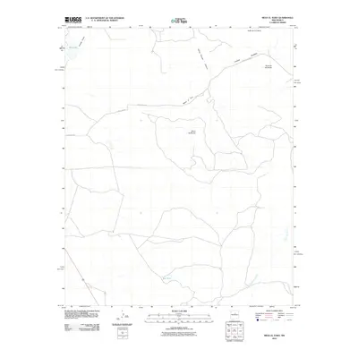
2010 Map of Mesa El Toro
USGS Topo · Published 2010About this map
Mesa el Toro and Mesa las Mulas dominate this high-desert landscape in Santa Fe County, revealing the intricate drainage patterns of the northern New Mexico terrain. The northern portion is defined by the significant corridor of Cañon Blanco, which is joined by Felipe Chavez Canyon as it carves through the volcanic and sedimentary geography. Scattered water sources like Big Lake and Red Tank provide essential orientation points in an area otherwise characterized by deep draws and named valleys such as Valle de la Cabra. A sparse network of infrastructure, including County Rd-B31A and County Rd-24C, navigates the complex elevation changes between prominent landmarks like Cerro de las Tijeras and the winding Cañada de Pueblo.
Find a feature on this map
12 named features on this map. Tap any name to fly to it.
Don’t see what you’re looking for? This feature index may not catch every label — zoom into the map to look around manually.
Map Details
Editions of this 2010 Mesa El Toro Map
This is the sole edition of this map. No revisions or reprints were ever made.
Other maps of this area

1894 · Lamy
USGS Topo · 1:125,000

1954 · Santa Fe
USGS Topo · 1:250,000

1958 · Santa Fe
USGS Topo · 1:250,000

1960 · Stanley
USGS Topo · 1:62,500
1966 · El Cabo
USGS Topo · 1:24,000
1966 · Mesa El Toro
USGS Topo · 1:24,000
1966 · Clines Corners
USGS Topo · 1:24,000
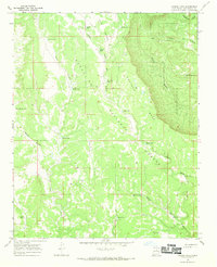
1966 · Laguna Ortiz
USGS Topo · 1:24,000
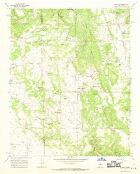
1966 · Rencona
USGS Topo · 1:24,000
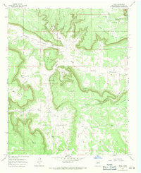
1966 · Leyba
USGS Topo · 1:24,000