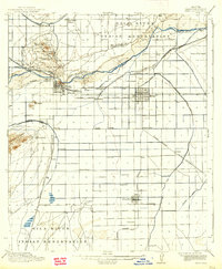
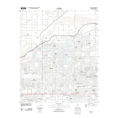
1915 Map of Mesa
USGS Topo · Published 1938About this map
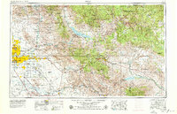
The Salt River and its elaborate network of irrigation canals define the landscape of the East Valley during this early twentieth-century survey. Irrigation infrastructure, managed by the Department of the Interior and the U.S. Reclamation Service, is the lifeblood of the region, appearing as the Arizona Canal, Consolidated Canal, and numerous others that support agricultural settlements like Mesa and Tempe. The town of Tempe is anchored by the Arizona State Normal School and the nearby Tempe Butte, while the surrounding rural areas are dotted with local landmarks such as the Creamery, Alma School, and Kyrene School. To the north, the Salt River Indian Reservation includes the Indian Agency and School and the historic Lehi settlement. This era represents a pivotal moment when the desert was being systematically transformed by water management and rail lines like the Arizona Eastern RR.
Find a feature on this map
57 named features on this map. Tap any name to fly to it.
Don’t see what you’re looking for? This feature index may not catch every label — zoom into the map to look around manually.
Map Details
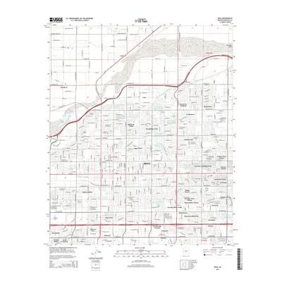
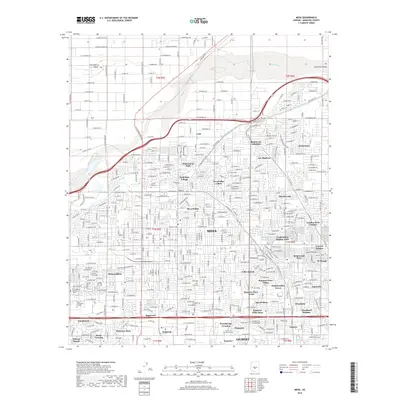
Editions of this 1915 Mesa Map
2 editions found
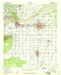
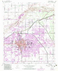
Historical Maps of Phoenix Through Time
16 maps found

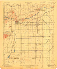
1913 Mesa
Maricopa County, AZ
1915 Mesa
Maricopa County, AZ
1952 Mesa
Maricopa County, AZ
1952 Mesa
Maricopa County, AZ
1954 Mesa
Maricopa County, AZ

1957 Mesa
Maricopa County, AZ

1958 Mesa
Maricopa County, AZ

1960 Mesa
Maricopa County, AZ

1964 Mesa
Maricopa County, AZ
1971 Mesa
Maricopa County, AZ
1972 Mesa
Maricopa County, AZ
1994 Mesa
Maricopa County, AZ
2011 Mesa
Maricopa County, AZ
2014 Mesa
Maricopa County, AZ
2018 Mesa
Maricopa County, AZ
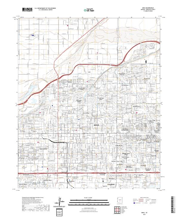
2021 Mesa
Maricopa County, AZ