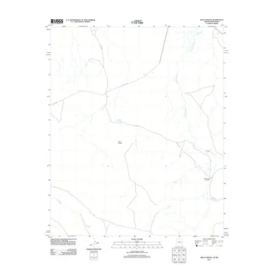
2011 Map of Mesa Parada
USGS Topo · Published 2011About this map
Mesa Parada rises as a prominent landmark in this high-desert landscape on the border of Arizona and New Mexico. The area is defined by a complex drainage system, where the ephemeral Carrizo Wash and Cienega Amarilla create a network of seasonal watercourses across the plateau. This 2011 survey documents a remote ranching environment where water management is critical, as seen in the distributed network of man-made features like White Tank, Tucker Tank, and Kelhnne Tank. These catchments, along with natural features like Gallegos Springs, likely serve as the primary water sources for livestock in a region otherwise dominated by dry washes such as Mayes Wash and Jarvis Wash. The presence of several county roads, including Co RD-6002 and Co RD-6040, indicates the essential routes connecting these isolated ranching outposts through the terrain of Cottonwood Canyon and La Draw.
Find a feature on this map
15 named features on this map. Tap any name to fly to it.
Don’t see what you’re looking for? This feature index may not catch every label — zoom into the map to look around manually.
Map Details
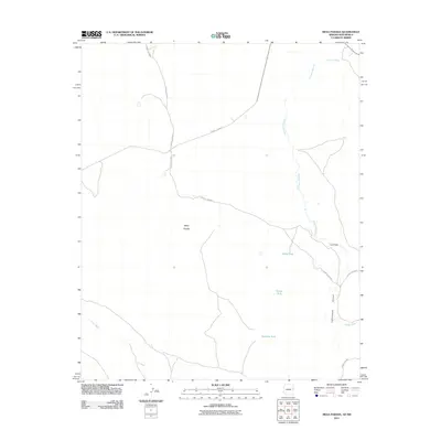
Editions of this 2011 Mesa Parada Map
2 editions found
Other maps of this area

1886 · St Johns
USGS Topo · 1:250,000

1892 · St Johns
USGS Topo · 1:250,000

1954 · Saint Johns
USGS Topo · 1:250,000

1957 · Saint Johns
USGS Topo · 1:250,000

1958 · Saint Johns
USGS Topo · 1:250,000

1962 · Saint Johns
USGS Topo · 1:250,000

1971 · Mesa Parada NW
USGS Topo · 1:24,000

1971 · Mesa Parada
USGS Topo · 1:24,000
1971 · Voigt Ranch
USGS Topo · 1:24,000
1971 · The Rincon
USGS Topo · 1:24,000