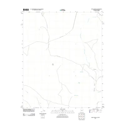
2011 Map of Mesa Parada
USGS Topo · Published 2011About this map
Mesa Parada stands as a prominent landform in this high-desert region on the border of Arizona and New Mexico. The landscape is defined by an intricate drainage system including the Carrizo Wash, Jarvis Wash, and the extensive Cienega Amarilla, which cuts a path through the eastern portion of the quadrangle. Human presence is marked primarily by ranching infrastructure and a network of secondary roads such as County Rd-8002 and County Rd-8040. Numerous catchment points, including White Tank, Tucker Tank, and Kelhne Tank, are distributed across the terrain, highlighting the essential role of water management in this arid environment. The map also traces the distinct path of Cottonwood Canyon and the natural depression known as La Draw, providing a detailed view of the local topography at the start of the 21st century.
Find a feature on this map
15 named features on this map. Tap any name to fly to it.
Don’t see what you’re looking for? This feature index may not catch every label — zoom into the map to look around manually.
Map Details
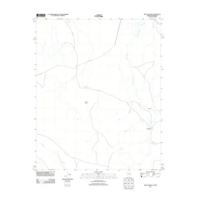
Editions of this 2011 Mesa Parada Map
2 editions found
Other maps of this area

1886 · St Johns
USGS Topo · 1:250,000

1892 · St Johns
USGS Topo · 1:250,000

1954 · Saint Johns
USGS Topo · 1:250,000

1957 · Saint Johns
USGS Topo · 1:250,000

1958 · Saint Johns
USGS Topo · 1:250,000

1962 · Saint Johns
USGS Topo · 1:250,000

1971 · Mesa Parada NW
USGS Topo · 1:24,000

1971 · Mesa Parada
USGS Topo · 1:24,000
1971 · Voigt Ranch
USGS Topo · 1:24,000
1971 · The Rincon
USGS Topo · 1:24,000