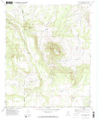
1971 Map of Mesa Redonda
USGS Topo · Published 1973About this map
The high plateau of Black Mesa dominates this 1971 survey of the Arizona high country, split by the Navajo Co Apache Co line. The landscape is defined by the prominent Mesa Redonda and its smaller counterpart, Little Mesa Redonda, which rise above a network of seasonal drainages including Martinez Draw and Manuel Seep Draw.
Find a feature on this map
18 named features on this map. Tap any name to fly to it.
Don’t see what you’re looking for? This feature index may not catch every label — zoom into the map to look around manually.
Map Details
Editions of this 1971 Mesa Redonda Map
2 editions found
Other maps of this area

1886 · St Johns
USGS Topo · 1:250,000

1892 · St Johns
USGS Topo · 1:250,000

1954 · Saint Johns
USGS Topo · 1:250,000

1955 · Adamana 4 SW
USGS Topo · 1:24,000

1955 · Adamana 3 SE
USGS Topo · 1:24,000

1955 · Hunt
USGS Topo · 1:62,500

1957 · Saint Johns
USGS Topo · 1:250,000

1958 · Saint Johns
USGS Topo · 1:250,000

1962 · Saint Johns
USGS Topo · 1:250,000
1971 · Vernon
USGS Topo · 1:24,000