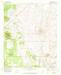
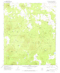
1971 Map of Vernon
USGS Topo · Published 1973About this map
The high plateau of Apache County is documented here in the early 1970s, centered on the settlement of Vernon and the surrounding volcanic landscape. The map highlights the transition between the open range and the forested uplands of the Sitgreaves National Forest. To the north, the terrain is marked by seasonal water sources and former habitations, including the locations of Floy (Site) and Bannon (Site). Natural drainage is defined by Mineral Creek and Sepulveda Creek, which cut through a landscape punctuated by distinctive cinder cones such as Dutch Mountain, Smooth Knoll, and Burnt Knoll. Local industry is evidenced by the presence of a Borrow Pit and a Cinder Pit, likely supporting the maintenance of the Vernon Mc Nary Road as it connects these remote mountain communities. Water management is a key feature of the area, shown through the network of wells, springs like Laguna Salada Spring, and reservoirs including Little Ortega Lake and Anderson Lake.
Find a feature on this map
21 named features on this map. Tap any name to fly to it.
Don’t see what you’re looking for? This feature index may not catch every label — zoom into the map to look around manually.
Map Details
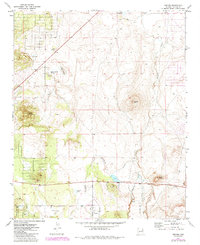
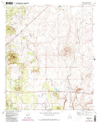
Editions of this 1971 Vernon Map
3 editions found
Other maps of this area

1886 · St Johns
USGS Topo · 1:250,000

1892 · St Johns
USGS Topo · 1:250,000

1954 · Saint Johns
USGS Topo · 1:250,000

1957 · Saint Johns
USGS Topo · 1:250,000

1958 · Saint Johns
USGS Topo · 1:250,000
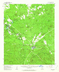
1961 · McNary
USGS Topo · 1:62,500

1962 · Saint Johns
USGS Topo · 1:250,000
1968 · Boundary Butte
USGS Topo · 1:24,000
1969 · Whiting Knoll
USGS Topo · 1:24,000
1971 · Cerro Hueco
USGS Topo · 1:24,000