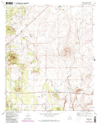
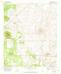
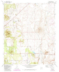
1971 Map of Vernon
USGS Topo · Published 1985About this map
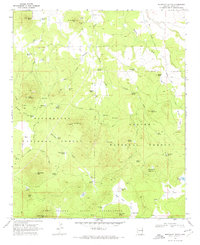
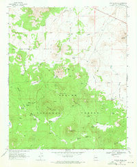
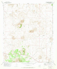
Vernon serves as the primary settlement in this high-country landscape of eastern Arizona, captured during a period of ongoing photogrammetric revision in the early 1980s. The map illustrates a transitional terrain where the Sitgreaves National Forest meets open ranching and grazing lands. Significant water resources like Little Ortega Lake and the Laguna Salada basin define the hydrology of the area, alongside drainage systems including Mineral Creek and Sepulveda Creek.
Find a feature on this map
18 named features on this map. Tap any name to fly to it.
Don’t see what you’re looking for? This feature index may not catch every label — zoom into the map to look around manually.
Map Details
Editions of this 1971 Vernon Map
3 editions found
Other maps of this area

1886 · St Johns
USGS Topo · 1:250,000

1892 · St Johns
USGS Topo · 1:250,000

1954 · Saint Johns
USGS Topo · 1:250,000

1957 · Saint Johns
USGS Topo · 1:250,000

1958 · Saint Johns
USGS Topo · 1:250,000
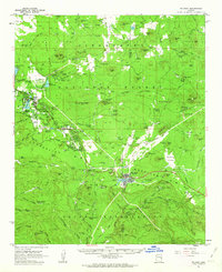
1961 · McNary
USGS Topo · 1:62,500

1962 · Saint Johns
USGS Topo · 1:250,000
1968 · Boundary Butte
USGS Topo · 1:24,000
1969 · Whiting Knoll
USGS Topo · 1:24,000
1971 · Cerro Hueco
USGS Topo · 1:24,000