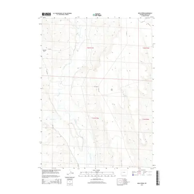
2015 Map of Mesa Spring
USGS Topo · Published 2015About this map
The Green River carves a winding path through this portion of Sublette County, defining the western topography of a landscape characterized by high desert plains and benchlands. To the east, the prominent upland known as The Mesa overlooks the river valley, served by a network of ranching and utility roads including The Mesa Rd and Flying Heart Rd. Water management is central to this arid environment, evidenced by Mesa Spring and the Bloom Reservoir situated in the central depressions.
Find a feature on this map
17 named features on this map. Tap any name to fly to it.
Don’t see what you’re looking for? This feature index may not catch every label — zoom into the map to look around manually.
Map Details
Editions of this 2015 Mesa Spring Map
This is the sole edition of this map. No revisions or reprints were ever made.
Other maps of this area

1939 · Big Piney
USGS Topo · 1:125,000

1942 · Big Piney
USGS Topo · 1:125,000

1955 · Preston
USGS Topo · 1:250,000

1955 · Lander
USGS Topo · 1:250,000

1958 · Lander
USGS Topo · 1:250,000

1958 · Preston
USGS Topo · 1:250,000

1961 · Lander
USGS Topo · 1:250,000

1962 · Preston
USGS Topo · 1:250,000

1964 · Two Buttes Reservoir
USGS Topo · 1:24,000

1964 · Ross Butte
USGS Topo · 1:24,000