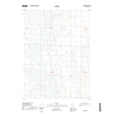
2017 Map of Mesa Spring
USGS Topo · Published 2017About this map
The Green River carves a broad valley through the center of this Wyoming landscape, its meandering path flanked by intricate wetland networks and tributary drainage from Cottonwood Cr. Rising to the east is the prominent landform known as The Mesa, a high plateau that dominates the local topography. This 2017 survey by the U.S. Geological Survey illustrates a sparsely populated region defined by grazing land and water management, where isolated water sources like Mesa Spring and the Bloom Reservoir serve as vital points in the arid environment. To the northwest, the Soap Hole Basin creates a distinct natural depression. A grid of local roads, including Luman Rd, Chapel Rd, and Mesa Rd, provides access across the townships, following the natural contours of the river valley and the rising slopes of the mesa.
Find a feature on this map
15 named features on this map. Tap any name to fly to it.
Don’t see what you’re looking for? This feature index may not catch every label — zoom into the map to look around manually.
Map Details
Editions of this 2017 Mesa Spring Map
This is the sole edition of this map. No revisions or reprints were ever made.
Other maps of this area

1939 · Big Piney
USGS Topo · 1:125,000

1942 · Big Piney
USGS Topo · 1:125,000

1955 · Preston
USGS Topo · 1:250,000

1955 · Lander
USGS Topo · 1:250,000

1958 · Lander
USGS Topo · 1:250,000

1958 · Preston
USGS Topo · 1:250,000

1961 · Lander
USGS Topo · 1:250,000

1962 · Preston
USGS Topo · 1:250,000

1964 · Two Buttes Reservoir
USGS Topo · 1:24,000

1964 · Ross Butte
USGS Topo · 1:24,000