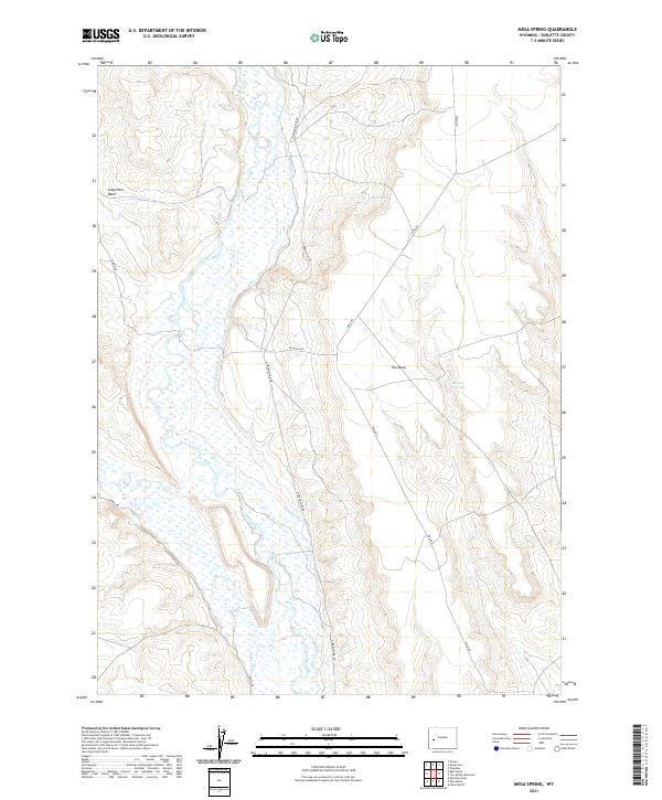
2021 Map of Mesa Spring
USGS Topo · Published 2021About this map
The Green River carves a broad valley through this Sublette County landscape, defined by a complex network of irrigation infrastructure and the prominent landform known as The Mesa. The distribution of water is managed through numerous man-made channels including the Luman Ditch, Hill Ditch, and Harman Ditch, illustrating the area's deep-rooted reliance on river diversion for ranching and agriculture. To the east, the terrain rises toward Mesa Spring and the Bloom Reservoir, while the western edge is marked by the depression of Soap Hole Basin. This 2021 survey demonstrates the persistent footprint of Bureau of Land Management routes like BLM RD 5105 and local tracks like Chapel Rd, which provide access to the valley floor and the elevated plateaus that overlook the Cottonwood Cr confluence.
Find a feature on this map
19 named features on this map. Tap any name to fly to it.
Don’t see what you’re looking for? This feature index may not catch every label — zoom into the map to look around manually.
Map Details
Editions of this 2021 Mesa Spring Map
This is the sole edition of this map. No revisions or reprints were ever made.
Other maps of this area

1939 · Big Piney
USGS Topo · 1:125,000

1942 · Big Piney
USGS Topo · 1:125,000

1955 · Preston
USGS Topo · 1:250,000

1955 · Lander
USGS Topo · 1:250,000

1958 · Lander
USGS Topo · 1:250,000

1958 · Preston
USGS Topo · 1:250,000

1961 · Lander
USGS Topo · 1:250,000

1962 · Preston
USGS Topo · 1:250,000

1964 · Two Buttes Reservoir
USGS Topo · 1:24,000

1964 · Ross Butte
USGS Topo · 1:24,000