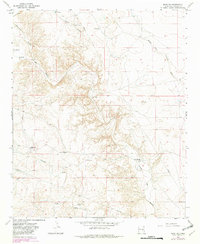
1967 Map of Mesa SW
USGS Topo · Published 1982About this map
Boswell Ranch and other established ranching operations define this arid corner of Chaves County during the late 1960s. The landscape is dominated by a complex network of dry washes and drainage patterns, most notably the Arroyo del Macho and its tributaries such as Fifteenmile Arroyo and Middle Fork Fivemile Draw. These ephemeral waterways carved deep through the terrain, with names like Burts Canyon and Fourmile Draw indicating the vast distances between landmarks in this livestock-driven economy.
Find a feature on this map
18 named features on this map. Tap any name to fly to it.
Don’t see what you’re looking for? This feature index may not catch every label — zoom into the map to look around manually.
Map Details
Editions of this 1967 Mesa SW Map
2 editions found
Other maps of this area

1955 · Roswell
USGS Topo · 1:250,000

1958 · Roswell
USGS Topo · 1:250,000

1962 · Roswell
USGS Topo · 1:250,000

1962 · Rock House Canyon
USGS Topo · 1:24,000

1962 · Marley Draw
USGS Topo · 1:24,000

1967 · Round Mountain SE
USGS Topo · 1:24,000

1967 · Round Mountain
USGS Topo · 1:24,000

1967 · Dunlap Sill
USGS Topo · 1:24,000
1967 · Mesa SE
USGS Topo · 1:24,000
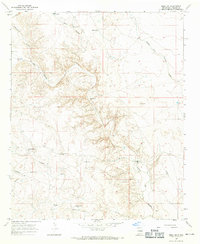
1967 · Mesa SW
USGS Topo · 1:24,000