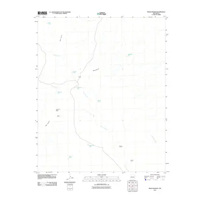
2010 Map of Mesas Mojinas
USGS Topo · Published 2010About this map
Mesas Mojinas dominates this arid landscape of Valencia County, where the high desert terrain is defined by a series of prominent landforms and ephemeral drainage patterns. The geological character of the region is evident through specialized extraction sites like the All American Marble Claims, Lucero Quarry, and Omission Quarry, suggesting a local economy tied to the land's mineral resources. Land use in this area is further marked by the presence of Frost Ranch, a solitary settlement node situated among the vast mesas.
Find a feature on this map
19 named features on this map. Tap any name to fly to it.
Don’t see what you’re looking for? This feature index may not catch every label — zoom into the map to look around manually.
Map Details
Editions of this 2010 Mesas Mojinas Map
This is the sole edition of this map. No revisions or reprints were ever made.
Other maps of this area

1917 · Cerro Verde
USGS Topo · 1:125,000

1952 · Belen SW
USGS Topo · 1:24,000

1952 · Belen NW
USGS Topo · 1:24,000

1952 · Rio Puerco
USGS Topo · 1:24,000

1954 · South Garcia SE
USGS Topo · 1:24,000

1954 · Socorro
USGS Topo · 1:250,000

1956 · South Garcia
USGS Topo · 1:62,500

1956 · Mesa Aparejo
USGS Topo · 1:62,500

1958 · Socorro
USGS Topo · 1:250,000

1962 · Socorro
USGS Topo · 1:250,000