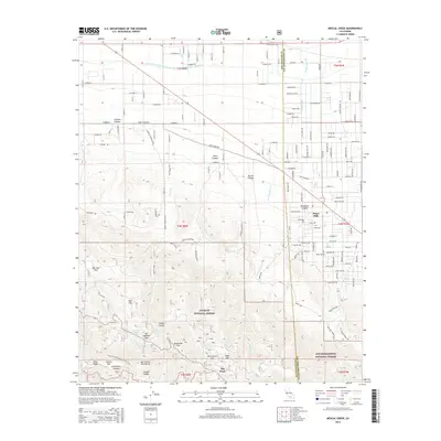
2015 Map of Mescal Creek
USGS Topo · Published 2015About this map
Piñon Hills sits at the high-desert transition where the Mojave Desert meets the northern slopes of the San Gabriel Mountains. This mid-2010s survey reveals a landscape split by the tectonic legacy of the San Andreas Fault, which carves through the southern portion of the map. Modern water infrastructure is prominent here, as the Governor Edmund G Brown East-Branch California Aqueduct snakes across the northern arid plains. Within the mountain elevations of the Angeles National Forest, recreation and mountain life are represented by Jackson Lake and seasonal outposts such as Big Pines and Grassy Hollow. The rugged northern slopes are further defined by steep drainage systems like Jesus Canyon and Puzzle Canyon, illustrating the dramatic shift in elevation from the mountain ridges to the desert floor.
Find a feature on this map
82 named features on this map. Tap any name to fly to it.
Don’t see what you’re looking for? This feature index may not catch every label — zoom into the map to look around manually.
Map Details
Editions of this 2015 Mescal Creek Map
This is the sole edition of this map. No revisions or reprints were ever made.
Other maps of this area

1901 · Southern California Sheet No. 1
USGS Topo · 1:250,000

1903 · Rock Creek
USGS Topo · 1:62,500

1903 · San Antonio
USGS Topo · 1:62,500

1904 · Southern California Sheet No. 1
USGS Topo · 1:250,000

1930 · Black Butte
USGS Topo · 1:24,000

1930 · Angle
USGS Topo · 1:24,000

1932 · Angle
USGS Topo · 1:24,000

1933 · Black Butte
USGS Topo · 1:24,000

1934 · Mescal Creek
USGS Topo · 1:24,000
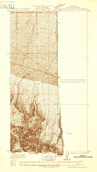
1934 · Boneyard Canyon
USGS Topo · 1:24,000