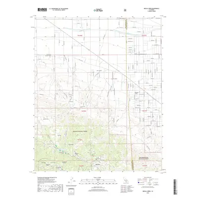
2018 Map of Mescal Creek
USGS Topo · Published 2018About this map
The San Andreas Fault cuts a definitive line through this high-altitude landscape, marking the structural divide between the San Gabriel Mountains and the desert floor. In the southern portion, the high ridges of the Angeles National Forest drop into recreational and seasonal flats such as Appletree Flat, McClellan Flat, and Big John Flat. This area, centered on the community of Big Pines, is characterized by the high-elevation geography of Table Mtn and Blue Ridge.
Find a feature on this map
83 named features on this map. Tap any name to fly to it.
Don’t see what you’re looking for? This feature index may not catch every label — zoom into the map to look around manually.
Map Details
Editions of this 2018 Mescal Creek Map
This is the sole edition of this map. No revisions or reprints were ever made.
Other maps of this area

1901 · Southern California Sheet No. 1
USGS Topo · 1:250,000

1903 · Rock Creek
USGS Topo · 1:62,500

1903 · San Antonio
USGS Topo · 1:62,500

1904 · Southern California Sheet No. 1
USGS Topo · 1:250,000

1930 · Black Butte
USGS Topo · 1:24,000

1930 · Angle
USGS Topo · 1:24,000

1932 · Angle
USGS Topo · 1:24,000

1933 · Black Butte
USGS Topo · 1:24,000

1934 · Mescal Creek
USGS Topo · 1:24,000
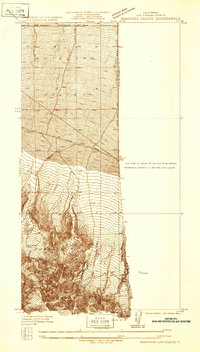
1934 · Boneyard Canyon
USGS Topo · 1:24,000