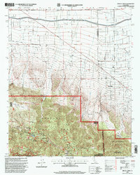
1995 Map of Mescal Creek
USGS Topo · Published 1999About this map
Pinon Hills sits at the high-desert transition where the Mojave meets the northern slopes of the San Gabriel Mountains. This mid-1990s revision reveals a landscape defined by the sharp boundary between Los Angeles and San Bernardino counties, cutting through a mix of remote ranching outposts like Hagenbaugh Ranch and Oak Spring Ranch. The southern half of the map is dominated by the protected heights of the Angeles National Forest and San Bernardino National Forest, where steep canyons like Graham Canyon drop away from the Blue Ridge.
Find a feature on this map
26 named features on this map. Tap any name to fly to it.
Don’t see what you’re looking for? This feature index may not catch every label — zoom into the map to look around manually.
Map Details
Editions of this 1995 Mescal Creek Map
This is the sole edition of this map. No revisions or reprints were ever made.
Other maps of this area

1901 · Southern California Sheet No. 1
USGS Topo · 1:250,000

1903 · Rock Creek
USGS Topo · 1:62,500

1903 · San Antonio
USGS Topo · 1:62,500

1904 · Southern California Sheet No. 1
USGS Topo · 1:250,000

1930 · Black Butte
USGS Topo · 1:24,000

1930 · Angle
USGS Topo · 1:24,000

1932 · Angle
USGS Topo · 1:24,000

1933 · Black Butte
USGS Topo · 1:24,000

1934 · Mescal Creek
USGS Topo · 1:24,000
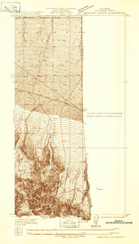
1934 · Boneyard Canyon
USGS Topo · 1:24,000