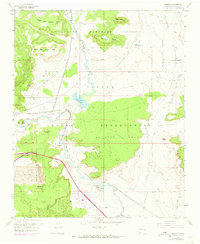
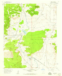
1957 Map of Mesita
USGS Topo · Published 1973About this map
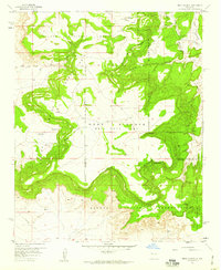
Mesita and Marmon sit along the winding course of the Rio San Jose in this mid-century look at the eastern portion of the Pueblo of Laguna Grant. The landscape is dominated by high mesas and distinct volcanic or erosional landmarks like Heart Peak and Sunhouse Peaks, which overlook expansive Sand Dunes. The infrastructure of the era is clearly marked by the Atchison Topeka and Santa Fe railroad line and a nearby Old Railroad Grade, tracing the evolution of transport through the valley.
Find a feature on this map
34 named features on this map. Tap any name to fly to it.
Don’t see what you’re looking for? This feature index may not catch every label — zoom into the map to look around manually.
Map Details
Editions of this 1957 Mesita Map
2 editions found
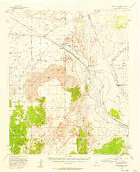
Other maps of this area

1883 · Mt. Taylor
USGS Topo · 1:250,000

1886 · Mt. Taylor
USGS Topo · 1:250,000

1892 · Mt. Taylor
USGS Topo · 1:250,000

1899 · Mt. Taylor
USGS Topo · 1:250,000

1917 · Cerro Verde
USGS Topo · 1:125,000

1954 · Socorro
USGS Topo · 1:250,000
1956 · South Garcia
USGS Topo · 1:62,500
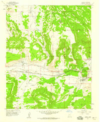
1957 · Laguna
USGS Topo · 1:24,000
1957 · Mesa Gigante
USGS Topo · 1:24,000
1957 · Moquino
USGS Topo · 1:24,000