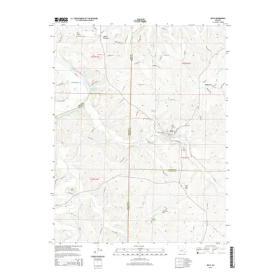
2015 Map of Meta
USGS Topo · Published 2015About this map
The Osage River winds through the northwestern corner of this Central Missouri landscape, defining the topography near Saint Thomas and Scott Lake. This area is characterized by a complex network of waterways, including the meandering paths of Tavern Creek, Sugar Creek, and Little Tavern Cr. These streams carve through a series of prominent elevations such as Lost Hill and High Point Hill, creating a varied terrain where small settlements and rural homesteads have persisted for generations.
Find a feature on this map
90 named features on this map. Tap any name to fly to it.
Don’t see what you’re looking for? This feature index may not catch every label — zoom into the map to look around manually.
Map Details
Editions of this 2015 Meta Map
This is the sole edition of this map. No revisions or reprints were ever made.
Other maps of this area

1888 · Tuscumbia
USGS Topo · 1:125,000

1894 · Tuscumbia
USGS Topo · 1:125,000

1933 · Iberia
USGS Topo · 1:62,500

1937 · Iberia
USGS Topo · 1:62,500

1947 · Jefferson City
USGS Topo · 1:250,000

1948 · Meta
USGS Topo · 1:62,500
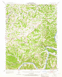
1948 · Eugene
USGS Topo · 1:62,500

1948 · Tavern
USGS Topo · 1:62,500
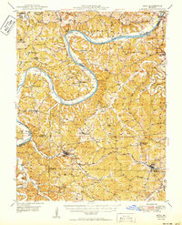
1950 · Meta
USGS Topo · 1:62,500
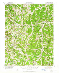
1950 · Tavern
USGS Topo · 1:62,500