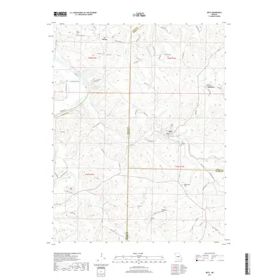
2017 Map of Meta
USGS Topo · Published 2017About this map
The Osage River flows through the northwestern corner of this Central Missouri landscape, where the borders of Cole, Osage, Miller, and Maries counties converge. The town of Meta sits at the heart of the region, surrounded by a complex network of waterways including Sugar Creek, Tavern Creek, and Little Maries Cr. The area is marked by significant topographical landmarks such as High Point Hill, Thompson Hill, and the isolated Lost Hill.
Find a feature on this map
78 named features on this map. Tap any name to fly to it.
Don’t see what you’re looking for? This feature index may not catch every label — zoom into the map to look around manually.
Map Details
Editions of this 2017 Meta Map
This is the sole edition of this map. No revisions or reprints were ever made.
Other maps of this area

1888 · Tuscumbia
USGS Topo · 1:125,000

1894 · Tuscumbia
USGS Topo · 1:125,000

1933 · Iberia
USGS Topo · 1:62,500

1937 · Iberia
USGS Topo · 1:62,500

1947 · Jefferson City
USGS Topo · 1:250,000

1948 · Meta
USGS Topo · 1:62,500
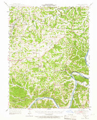
1948 · Eugene
USGS Topo · 1:62,500

1948 · Tavern
USGS Topo · 1:62,500
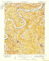
1950 · Meta
USGS Topo · 1:62,500
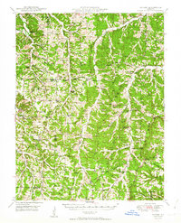
1950 · Tavern
USGS Topo · 1:62,500