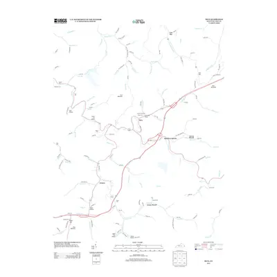
2013 Map of Meta
USGS Topo · Published 2013About this map
Johns Creek winds through this Central Appalachian landscape, serving as the primary drainage for a network of hollows and ridges in eastern Kentucky. The settlement pattern follows the valley floors, concentrated in small communities like Meta and Zebulon where the topography levels out. Evidence of the region’s topography and local nomenclature is preserved in names like Coal Hollow and Black Cow Hollow, hinting at the coal-rich geology and agricultural history of the area.
Find a feature on this map
131 named features on this map. Tap any name to fly to it.
Don’t see what you’re looking for? This feature index may not catch every label — zoom into the map to look around manually.
Map Details
Editions of this 2013 Meta Map
This is the sole edition of this map. No revisions or reprints were ever made.
Other maps of this area

1886 · Prestonsburg
USGS Topo · 1:125,000

1886 · Grundy
USGS Topo · 1:125,000

1887 · Warfield
USGS Topo · 1:125,000

1890 · Whitesburg
USGS Topo · 1:125,000

1890 · Grundy
USGS Topo · 1:125,000

1891 · Warfield
USGS Topo · 1:125,000

1892 · Grundy
USGS Topo · 1:125,000

1892 · Whitesburg
USGS Topo · 1:125,000

1892 · Prestonsburg
USGS Topo · 1:125,000

1914 · Laynesville
USGS Topo · 1:48,000