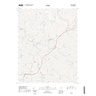
2019 Map of Meta
USGS Topo · Published 2019About this map
Johns Creek and its many winding tributaries dictate the settlement patterns of this Pike County landscape. Small communities like Meta, Zebulon, and Raccoon are established along the valley floors, connected by a network of hollow-hugging roads such as Doeskin Branch Rd and Burning Fork Rd. The terrain is characterized by steep ridges and deep draws, including named features like Uncle Irvs Hollow and Black Cow Hollow.
Find a feature on this map
108 named features on this map. Tap any name to fly to it.
Don’t see what you’re looking for? This feature index may not catch every label — zoom into the map to look around manually.
Map Details
Editions of this 2019 Meta Map
This is the sole edition of this map. No revisions or reprints were ever made.
Other maps of this area

1886 · Prestonsburg
USGS Topo · 1:125,000

1886 · Grundy
USGS Topo · 1:125,000

1887 · Warfield
USGS Topo · 1:125,000

1890 · Whitesburg
USGS Topo · 1:125,000

1890 · Grundy
USGS Topo · 1:125,000

1891 · Warfield
USGS Topo · 1:125,000

1892 · Grundy
USGS Topo · 1:125,000

1892 · Whitesburg
USGS Topo · 1:125,000

1892 · Prestonsburg
USGS Topo · 1:125,000

1914 · Laynesville
USGS Topo · 1:48,000