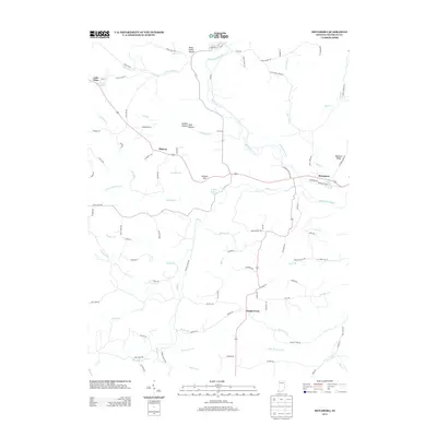
2013 Map of Metamora
USGS Topo · Published 2013About this map
The Whitewater Canal and Whitewater River define the valley corridor where the historic settlement of Metamora is situated. This region of Franklin County exhibits a complex network of waterways, including Salt Creek and its many tributaries such as Whistle Creek and Dodson Branch. The landscape preserves cultural landmarks like the Wiley Indian Mound near the northern boundary and natural features such as Derbyshire Falls tucked away from the main valley. Small rural nodes like Peppertown, Midway, and Hamburg anchor the surrounding uplands, connected by a winding road system that follows the local drainage patterns. Significant elevation changes are marked by features like Jackson Hill and McGuire Ridge, which overlook the canal basin and the broad valley floor. This 2013 survey provides a clear view of how modern transportation corridors like Old US Hwy 52 overlay the historical routes following the river and canal.
Find a feature on this map
107 named features on this map. Tap any name to fly to it.
Don’t see what you’re looking for? This feature index may not catch every label — zoom into the map to look around manually.
Map Details
Editions of this 2013 Metamora Map
This is the sole edition of this map. No revisions or reprints were ever made.
Other maps of this area

1946 · Batesville
USGS Topo · 1:24,000

1946 · New Point
USGS Topo · 1:24,000

1953 · Cincinnati
USGS Topo · 1:250,000

1956 · Everton
USGS Topo · 1:24,000

1956 · Alpine
USGS Topo · 1:24,000

1956 · Metamora
USGS Topo · 1:24,000

1956 · Brookville
USGS Topo · 1:24,000

1957 · Cincinnati
USGS Topo · 1:250,000

1958 · Spades
USGS Topo · 1:24,000

1958 · Clarksburg
USGS Topo · 1:24,000