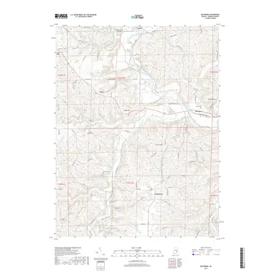
2019 Map of Metamora
USGS Topo · Published 2019About this map
Metamora and the Whitewater River valley define this portion of Franklin County, where the historic Whitewater Canal runs parallel to the river. The landscape is marked by high ridges like McGuire Ridge and deep hollows such as Halls Hollow and Coalpit Hollow. A significant indigenous landmark, the Wiley Indian Mound, is situated near Laurel, while the surrounding countryside is dotted with small rural communities including Peppertown, Midway, and Lake View.
Find a feature on this map
105 named features on this map. Tap any name to fly to it.
Don’t see what you’re looking for? This feature index may not catch every label — zoom into the map to look around manually.
Map Details
Editions of this 2019 Metamora Map
This is the sole edition of this map. No revisions or reprints were ever made.
Other maps of this area

1946 · Batesville
USGS Topo · 1:24,000

1946 · New Point
USGS Topo · 1:24,000

1953 · Cincinnati
USGS Topo · 1:250,000

1956 · Everton
USGS Topo · 1:24,000

1956 · Alpine
USGS Topo · 1:24,000

1956 · Metamora
USGS Topo · 1:24,000

1956 · Brookville
USGS Topo · 1:24,000

1957 · Cincinnati
USGS Topo · 1:250,000

1958 · Spades
USGS Topo · 1:24,000

1958 · Clarksburg
USGS Topo · 1:24,000