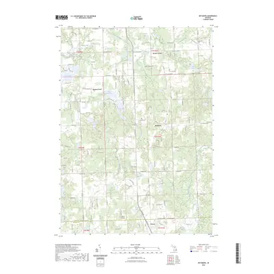
2023 Map of Metamora
USGS Topo · Published 2023About this map
Metamora serves as the central hub of this Lapeer County landscape, where the glacial geography of Michigan’s Thumb region is defined by a dense network of kettle lakes and drainages. The village is surrounded by significant water bodies such as Otsikita Lake, Lake Metamora, and Merritt Lake, which feed into various tributaries including Andreas Drain and Kintz Creek. Further south, the terrain rises toward Mount Christie, a prominent high point near the border with Oakland County.
Find a feature on this map
100 named features on this map. Tap any name to fly to it.
Don’t see what you’re looking for? This feature index may not catch every label — zoom into the map to look around manually.
Map Details
Editions of this 2023 Metamora Map
This is the sole edition of this map. No revisions or reprints were ever made.
Other maps of this area

1943 · Ortonville
USGS Topo · 1:24,000

1943 · Lake Orion
USGS Topo · 1:24,000

1943 · Oxford
USGS Topo · 1:24,000

1943 · Metamora
USGS Topo · 1:24,000

1945 · Thornville
USGS Topo · 1:24,000

1945 · Oxford
USGS Topo · 1:24,000
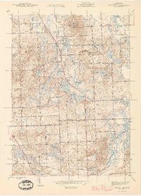
1945 · Ortonville
USGS Topo · 1:24,000

1945 · Hadley
USGS Topo · 1:24,000
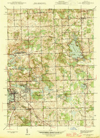
1945 · Lake Orion
USGS Topo · 1:24,000

1946 · Metamora
USGS Topo · 1:24,000
Featured Places
- Oxford Charter Township, MI
- Metamora, MI
- Brandon Charter Township, MI
- Elba Township, MI
- Hadley Township, MI