
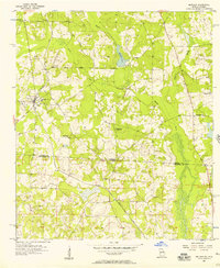
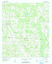
1956 Map of Metcalf
USGS Topo · Published 1957About this map
The borderlands between Thomas and Jefferson Counties are captured here during a period of rural transition along the Georgia-Florida line. The Atlantic Coast Line railroad serves as the primary corridor for commerce, threading through the small communities of Metcalf and Fincher. The landscape is defined by its agrarian roots, evidenced by numerous small community centers such as Friendship Church and Sanctum Church.
Find a feature on this map
19 named features on this map. Tap any name to fly to it.
Don’t see what you’re looking for? This feature index may not catch every label — zoom into the map to look around manually.
Map Details
Editions of this 1956 Metcalf Map
3 editions found
Other maps of this area

1954 · Valdosta
USGS Topo · 1:250,000

1954 · Tallahassee
USGS Topo · 1:250,000

1956 · Monticello NE
USGS Topo · 1:24,000

1956 · Cairo
USGS Topo · 1:62,500

1957 · Miccosukee NE
USGS Topo · 1:24,000

1957 · Thomasville
USGS Topo · 1:62,500

1958 · Valdosta
USGS Topo · 1:250,000

1959 · Tallahassee
USGS Topo · 1:250,000

1959 · Valdosta
USGS Topo · 1:250,000

1960 · Tallahassee
USGS Topo · 1:250,000