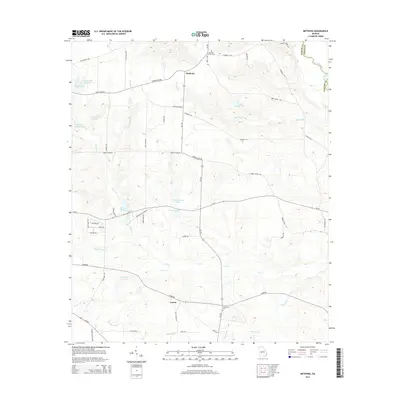
2014 Map of Methvins
USGS Topo · Published 2014About this map
Lamar and Methvins anchor this agricultural landscape in Sumter County, where the topography is defined by the drainage of Lime Cr and its tributaries as they move toward the Flint River. The 2014 survey reveals a region characterized by numerous private impoundments and family-named water bodies, including Pat Crumpton Lake, Hoke Smith Lake E, and Jimmy Greene Lake. These local landmarks, alongside the prominent Browns Millpond, suggest a legacy of land management tied to both recreation and rural industry.
Find a feature on this map
55 named features on this map. Tap any name to fly to it.
Don’t see what you’re looking for? This feature index may not catch every label — zoom into the map to look around manually.
Map Details
Editions of this 2014 Methvins Map
This is the sole edition of this map. No revisions or reprints were ever made.
Other maps of this area

1953 · Dothan
USGS Topo · 1:250,000

1953 · Waycross
USGS Topo · 1:250,000

1954 · Dothan
USGS Topo · 1:250,000

1955 · Dothan
USGS Topo · 1:250,000

1955 · Phenix City
USGS Topo · 1:250,000

1956 · Leslie
USGS Topo · 1:62,500

1957 · Phenix City
USGS Topo · 1:250,000

1957 · Macon
USGS Topo · 1:250,000

1958 · Macon
USGS Topo · 1:250,000

1958 · Phenix City
USGS Topo · 1:250,000