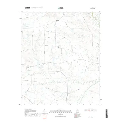
2020 Map of Methvins
USGS Topo · Published 2020About this map
Lamar and Methvins sit at the center of this agricultural landscape in Sumter County, where the terrain is defined by a dense network of creek branches and namesake ponds. The western edge of Dooly Co is marked by the course of the Flint River, while the interior is irrigated by notable water bodies such as Pat Crumpton Lake, Floyd Frazier Lake, and the connected Hoke Smith Lake East.
Find a feature on this map
56 named features on this map. Tap any name to fly to it.
Don’t see what you’re looking for? This feature index may not catch every label — zoom into the map to look around manually.
Map Details
Editions of this 2020 Methvins Map
This is the sole edition of this map. No revisions or reprints were ever made.
Other maps of this area

1953 · Dothan
USGS Topo · 1:250,000

1953 · Waycross
USGS Topo · 1:250,000

1954 · Dothan
USGS Topo · 1:250,000

1955 · Dothan
USGS Topo · 1:250,000

1955 · Phenix City
USGS Topo · 1:250,000

1956 · Leslie
USGS Topo · 1:62,500

1957 · Phenix City
USGS Topo · 1:250,000

1957 · Macon
USGS Topo · 1:250,000

1958 · Macon
USGS Topo · 1:250,000

1958 · Phenix City
USGS Topo · 1:250,000