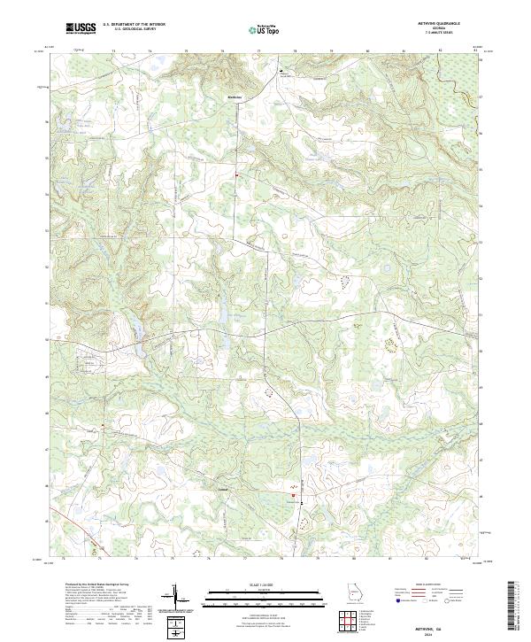
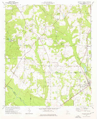
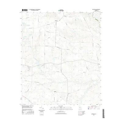
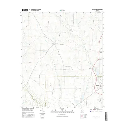
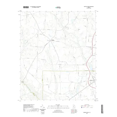
2024 Map of Methvins
USGS Topo · Published 2024About this map
Lamar and Methvins anchor this section of the coastal plain, where the landscape is defined by the intricate drainage of Lime Creek and the Flint River. The terrain is marked by numerous family-named landmarks and water bodies, reflecting a rural Georgia settlement pattern focused on local hydrology. Pat Crumpton Lake, Floyd, and the twin Hoke-Smith Lake West and Hoke Smith Lake East basins sit amidst a network of country roads like Browns Mill Pond Mill Rd and Jury Clark Rd.
Find a feature on this map
55 named features on this map. Tap any name to fly to it.
Don’t see what you’re looking for? This feature index may not catch every label — zoom into the map to look around manually.
Map Details
Editions of this 2024 Methvins Map
This is the sole edition of this map. No revisions or reprints were ever made.
Historical Maps of Lamar Through Time
24 maps found
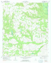
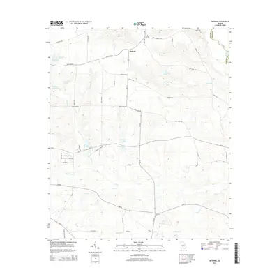
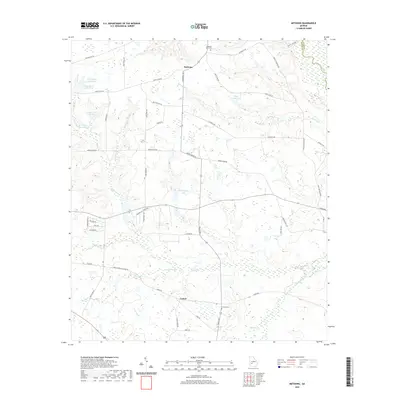
1972 Methvins
Sumter County, GA
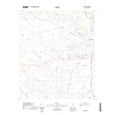
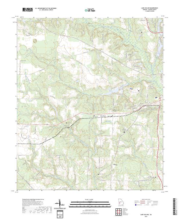
1973 Lake Collins
Sumter County, GA
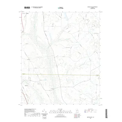
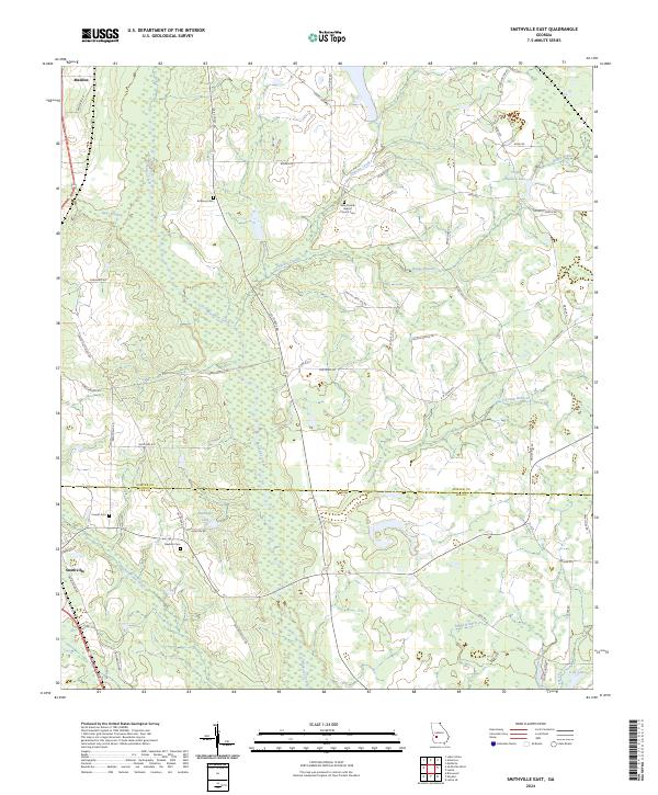
1973 Smithville East
Sumter County, GA
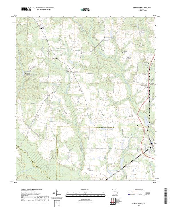
1973 Smithville West
Sumter County, GA
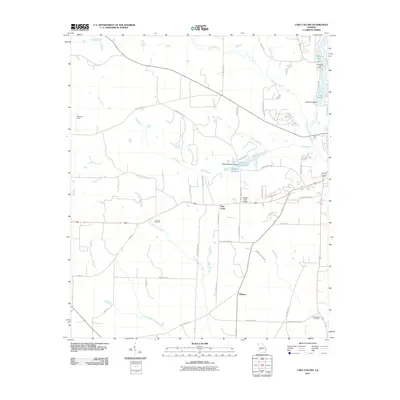
2011 Lake Collins
Sumter County, GA
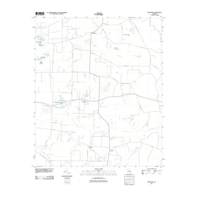
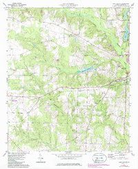
2011 Methvins
Sumter County, GA
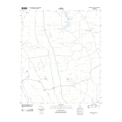
2011 Smithville East
Sumter County, GA
2011 Smithville West
Sumter County, GA
2014 Lake Collins
Sumter County, GA
2014 Methvins
Sumter County, GA
2014 Smithville East
Sumter County, GA
2014 Smithville West
Sumter County, GA
2017 Lake Collins
Sumter County, GA
2017 Methvins
Sumter County, GA
2017 Smithville East
Sumter County, GA
2017 Smithville West
Sumter County, GA
2020 Lake Collins
Sumter County, GA
2020 Methvins
Sumter County, GA
2020 Smithville East
Sumter County, GA
2020 Smithville West
Sumter County, GA
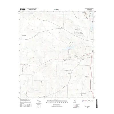
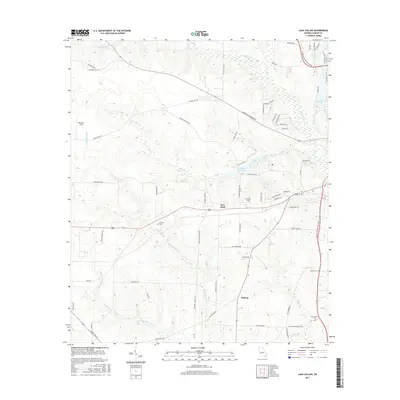
2024 Lake Collins
Sumter County, GA
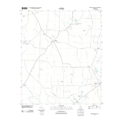
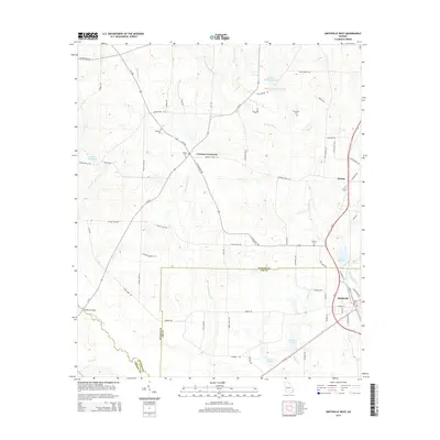
2024 Methvins
Sumter County, GA
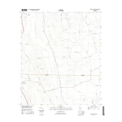
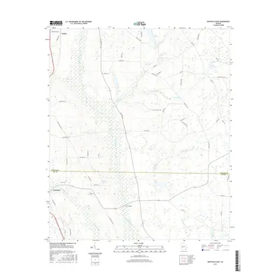
2024 Smithville East
Sumter County, GA
2024 Smithville West
Sumter County, GA