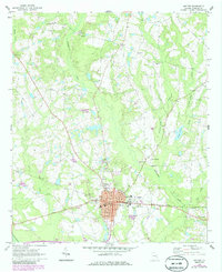
1970 Map of Metter
USGS Topo · Published 1986About this map
The city of Metter serves as the focal point of this 1970s landscape, where the Central of Georgia railroad intersects with a growing street grid that includes a Courthouse, City Hall, and a local High School. The surrounding terrain is defined by a network of slow-moving coastal plain waterways, most notably Fifteenmile Creek and the Canoochee River in the south. These drainage patterns influenced early settlement, visible in the distribution of family-named landmarks and rural outposts such as Ollifftown and Union.
Find a feature on this map
33 named features on this map. Tap any name to fly to it.
Don’t see what you’re looking for? This feature index may not catch every label — zoom into the map to look around manually.
Map Details
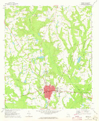
Editions of this 1970 Metter Map
2 editions found
Other maps of this area

1920 · Statesboro
USGS Topo · 1:62,500

1921 · Rocky Ford
USGS Topo · 1:62,500

1943 · Rocky Ford
USGS Topo · 1:62,500

1943 · Millen
USGS Topo · 1:125,000

1943 · Statesboro
USGS Topo · 1:62,500

1947 · Savannah
USGS Topo · 1:250,000

1948 · Savannah
USGS Topo · 1:250,000

1957 · Macon
USGS Topo · 1:250,000

1957 · Savannah
USGS Topo · 1:250,000

1958 · Macon
USGS Topo · 1:250,000