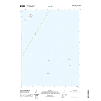
2019 Map of Metzger Marsh OE E
USGS Topo · Published 2019About this map
West Sister Island stands as the lone terrestrial landmark in this 2019 charting of the open waters of western Lake Erie. Located near the top-left of the sheet, the island is surrounded by the hazardous West Sister Reef, a precursor to a series of submerged features that define this maritime environment. The map details the hidden topography of the lakebed, tracing a network of reefs that run generally southeast toward the coastline.
Find a feature on this map
12 named features on this map. Tap any name to fly to it.
Don’t see what you’re looking for? This feature index may not catch every label — zoom into the map to look around manually.
Map Details
Editions of this 2019 Metzger Marsh OE E Map
This is the sole edition of this map. No revisions or reprints were ever made.
Other maps of this area

1900 · Oak Harbor
USGS Topo · 1:62,500

1901 · Put-In-Bay
USGS Topo · 1:62,500

1903 · Put In Bay
USGS Topo · 1:62,500

1952 · Oak Harbor
USGS Topo · 1:24,000

1952 · Lacarne
USGS Topo · 1:24,000

1952 · Oak Harbor
USGS Topo · 1:62,500

1956 · Toledo
USGS Topo · 1:250,000
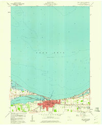
1959 · Port Clinton
USGS Topo · 1:24,000

1961 · Toledo
USGS Topo · 1:250,000
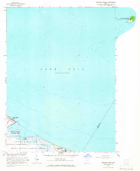
1964 · Metzger Marsh
USGS Topo · 1:24,000