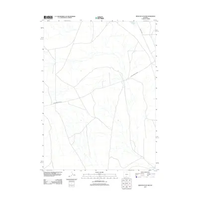
2012 Map of Mexican Flats NW
USGS Topo · Published 2012About this map
The high desert landscape of Wyoming's Sweetwater County is represented here through its sparse but vital infrastructure and hydrography. Sparse drainage patterns across the Mexican Flats terrain converge toward Coal Bank Lake in the northeastern corner of the map. This area of the basin is traversed by a few primary routes, notably Wamsutter Rd and Eureka Headquarters Rd, which serve as the lifelines for transportation through this arid region. The drainage network illustrates the complex natural irrigation of the flats, where small, ephemeral streams define the topography between the scattered plateaus and wide basins.
Find a feature on this map
3 named features on this map. Tap any name to fly to it.
Don’t see what you’re looking for? This feature index may not catch every label — zoom into the map to look around manually.
Map Details
Editions of this 2012 Mexican Flats NW Map
This is the sole edition of this map. No revisions or reprints were ever made.
Other maps of this area

1954 · Rawlins
USGS Topo · 1:250,000

1954 · Rock Springs
USGS Topo · 1:250,000

1958 · Rawlins
USGS Topo · 1:250,000

1958 · Rock Springs
USGS Topo · 1:250,000

1962 · Rawlins
USGS Topo · 1:250,000

1962 · Rock Springs
USGS Topo · 1:250,000

1966 · High Point
USGS Topo · 1:24,000

1966 · Eightmile Lake
USGS Topo · 1:24,000

1967 · Rawlins
USGS Topo · 1:250,000

1970 · South Barrel Spring
USGS Topo · 1:24,000